網上版請按此

Connecting geo-locations to unlock data value
Many countries including the United Kingdom, Canada, and Japan are facing the problems of an ageing population and declining productivity, smart city has become their best solution.
Research institute IDC observes that among the five smart city projects that every nation focuses on, three are data related, namely data use, digital trust, and data-driven public safety, and these are closely related.
In fact, the intelligence of smart cities is largely based on massive data. However, it is not easy to integrate fragmented data to unlock their values. For example, for the same location, different sources can have different ways of presentation on the same event, which makes it difficult to link up the data to draw useful information, let alone insight. Therefore, lDC predicts that 30% of smart city projects will fail due to unclear key performance indicators (KPI), making it difficult for assessment and consequently for convincing clients to allocate funds.
In other words, how to produce measurable results from data is the most critical issue.
The UK is facing the problem of ageing infrastructure, while the demand for services has continued to increase, ranging from identifying housing development plots, flood prediction, public transport efficiency, etc. There is an urgent need to use the existing resources more efficiently. But how can spatial data solve the problems?
Through digital spatial data workflow, the land conveyance service was shortened from 90 days to a few hours. A common spatial database can benefit the public utilities, construction and telecommunications industry. At the same time, the authority estimates that if they could maintain a detail record on the exact locations of underground infrastructure, thereby avoiding crisscrossing of proposed pipes with the existing facilities, project efficiency can be improved while minimizing service interruptions. Ultimately, the government can have better planning, saving the government's infrastructure expenditure by £4.6 billion annually.
How to do it? It relies on data. First, we should integrate the data, and to facilitate the integration, it is crucial to connect by geographical locations.
The Geospatial Commission of UK published the Linked Identifiers: Best Practice Guide in 2019, which recommends that every geographical object in the nation, including buildings, waterways, and roads should have a unique identifier or code. Organisations can link these codes to the data on their hands, so that different objects at the same location, originally spreading across different datasets, can then be linked together. It saves time and makes it easier in getting an exact overview of the information connected to a particular location. This simple and clever approach helps turn fragmented data into useful information for activities like managing a road network, responding to an emergency.
To further strengthen location data and technologies, the UK government announced its refreshed 2030 Geospatial Strategy in mid-June, which is expected to unlock billions of pounds in economic benefits through harnessing technologies, such as AI, satellite imaging and real-time data to boost location-powered innovation and drive the use of location data in property, transport, utilities and beyond.
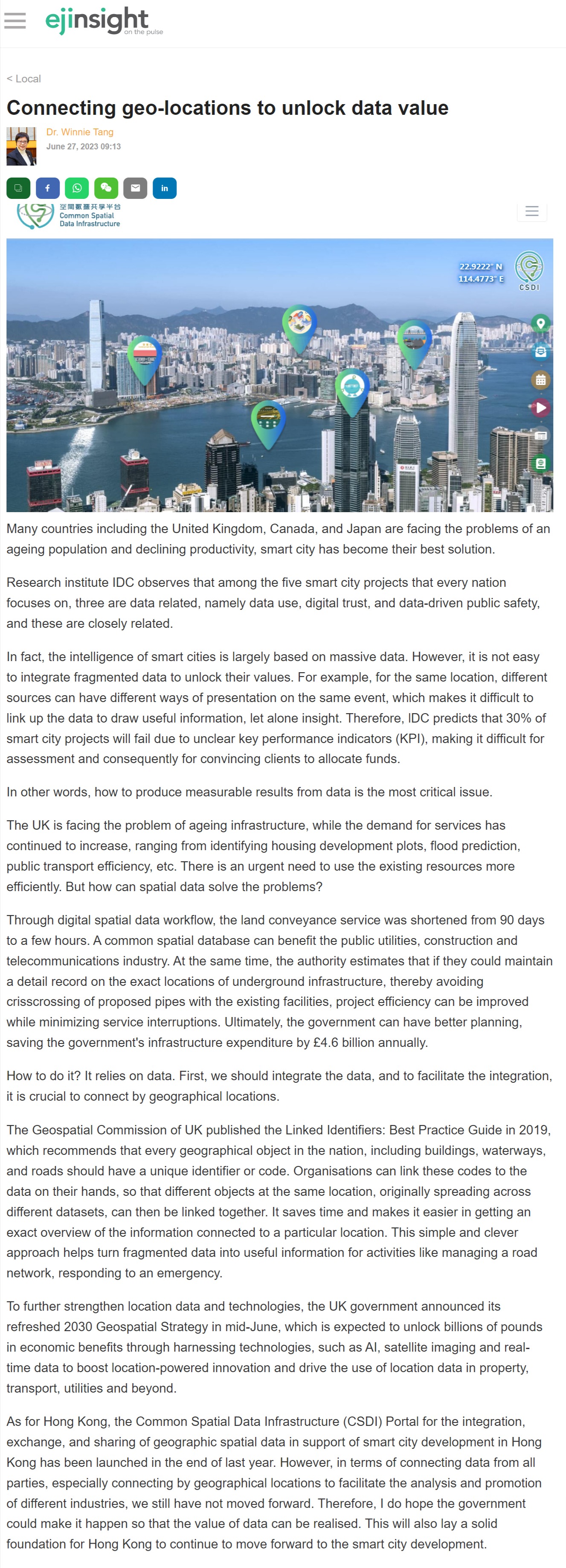
As for Hong Kong, the Common Spatial Data Infrastructure (CSDI) Portal for the integration, exchange, and sharing of geographic spatial data in support of smart city development in Hong Kong has been launched in the end of last year. However, in terms of connecting data from all parties, especially connecting by geographical locations to facilitate the analysis and promotion of different industries, we still have not moved forward. Therefore, I do hope the government could make it happen so that the value of data can be realised. This will also lay a solid foundation for Hong Kong to continue to move forward to the smart city development.
Dr. Winnie Tang
Adjunct Professor, Department of Computer Science, Faculty of Engineering; Department of Geography, Faculty of Social Sciences; and Faculty of Architecture, The University of Hong Kong