網上版請按此

Cooling the city with integration of science and technology
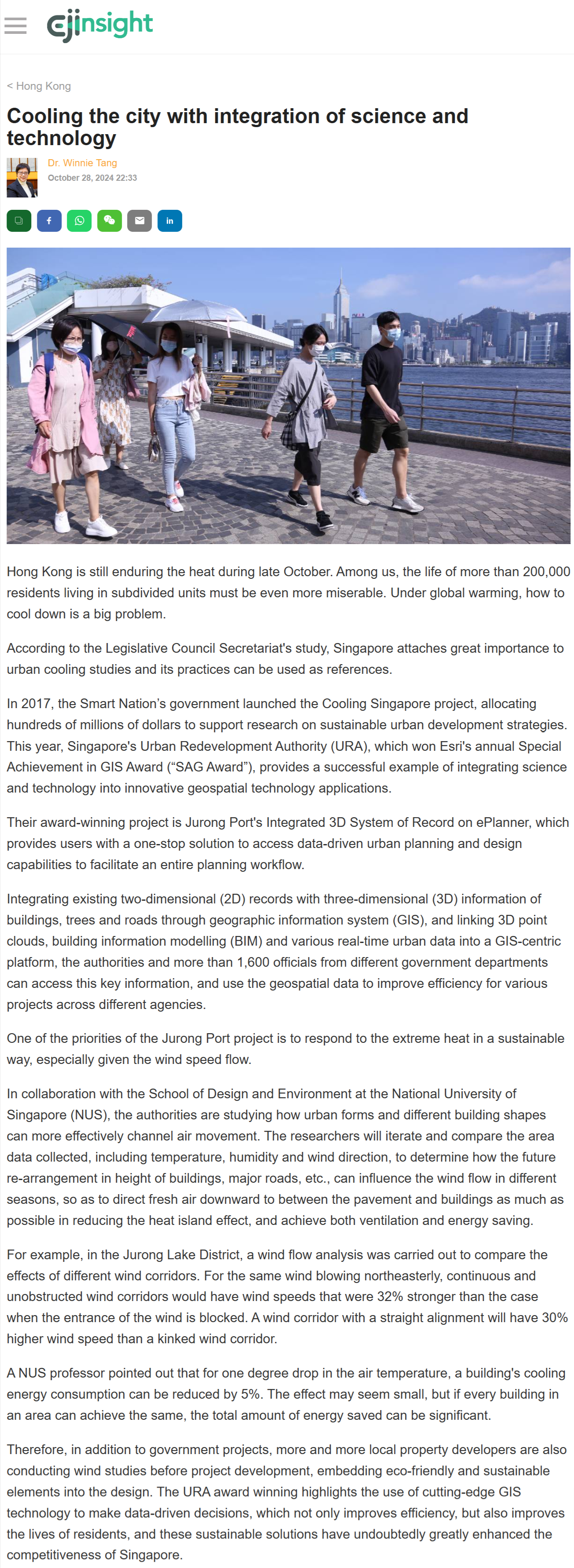
Hong Kong is still enduring the heat during late October. Among us, the life of more than 200,000 residents living in subdivided units must be even more miserable. Under global warming, how to cool down is a big problem.
According to the Legislative Council Secretariat's study, Singapore attaches great importance to urban cooling studies and its practices can be used as references.
In 2017, the Smart Nation’s government launched the Cooling Singapore project, allocating hundreds of millions of dollars to support research on sustainable urban development strategies. This year, Singapore's Urban Redevelopment Authority (URA), which won Esri's annual Special Achievement in GIS Award (“SAG Award”), provides a successful example of integrating science and technology into innovative geospatial technology applications.
Their award-winning project is Jurong Port's Integrated 3D System of Record on ePlanner, which provides users with a one-stop solution to access data-driven urban planning and design capabilities to facilitate an entire planning workflow.
Integrating existing two-dimensional (2D) records with three-dimensional (3D) information of buildings, trees and roads through geographic information system (GIS), and linking 3D point clouds, building information modelling (BIM) and various real-time urban data into a GIS-centric platform, the authorities and more than 1,600 officials from different government departments can access this key information, and use the geospatial data to improve efficiency for various projects across different agencies.
One of the priorities of the Jurong Port project is to respond to the extreme heat in a sustainable way, especially given the wind speed flow.
In collaboration with the School of Design and Environment at the National University of Singapore (NUS), the authorities are studying how urban forms and different building shapes can more effectively channel air movement. The researchers will iterate and compare the area data collected, including temperature, humidity and wind direction, to determine how the future re-arrangement in height of buildings, major roads, etc., can influence the wind flow in different seasons, so as to direct fresh air downward to between the pavement and buildings as much as possible in reducing the heat island effect, and achieve both ventilation and energy saving.
For example, in the Jurong Lake District, a wind flow analysis was carried out to compare the effects of different wind corridors. For the same wind blowing northeasterly, continuous and unobstructed wind corridors would have wind speeds that were 32% stronger than the case when the entrance of the wind is blocked. A wind corridor with a straight alignment will have 30% higher wind speed than a kinked wind corridor.
A NUS professor pointed out that for one degree drop in the air temperature, a building's cooling energy consumption can be reduced by 5%. The effect may seem small, but if every building in an area can achieve the same, the total amount of energy saved can be significant.
Therefore, in addition to government projects, more and more local property developers are also conducting wind studies before project development, embedding eco-friendly and sustainable elements into the design. The URA award winning highlights the use of cutting-edge GIS technology to make data-driven decisions, which not only improves efficiency, but also improves the lives of residents, and these sustainable solutions have undoubtedly greatly enhanced the competitiveness of Singapore.
Dr. Winnie Tang
Adjunct Professor, School of Computing and Data Science; Department of Geography, Faculty of Social Sciences, The University of Hong Kong