網上版請按此

How location tech enhances understanding of complex issues
It is estimated that nearly 18 billion internet-enabled smart devices (including mobile phones, smart bracelets and home appliances) and sensors had been connected last year, and at the end of this year, the number will reach 20 billion. To make the sense of the data, we need to link them together with their locations using geographic information system (GIS), a digital map technology. By analyzing location data, we can create more understanding, collaboration and systematic action for everyone in the globe.
Take the rescue operation of the Wild Boar Team in a remote cave in Thailand last year as an example. With the help of GlS, all data and information were integrated to correlate the underground world to the land above, connecting the command center and the rescue personnel.
On the digital map, real-time data of water and oxygen level, together with the weather sensor helped the mapping team simulate different situations, so as to find the best way for the divers to undertake the rescue operation of 12 young football players and their 25-year-old coach safely.
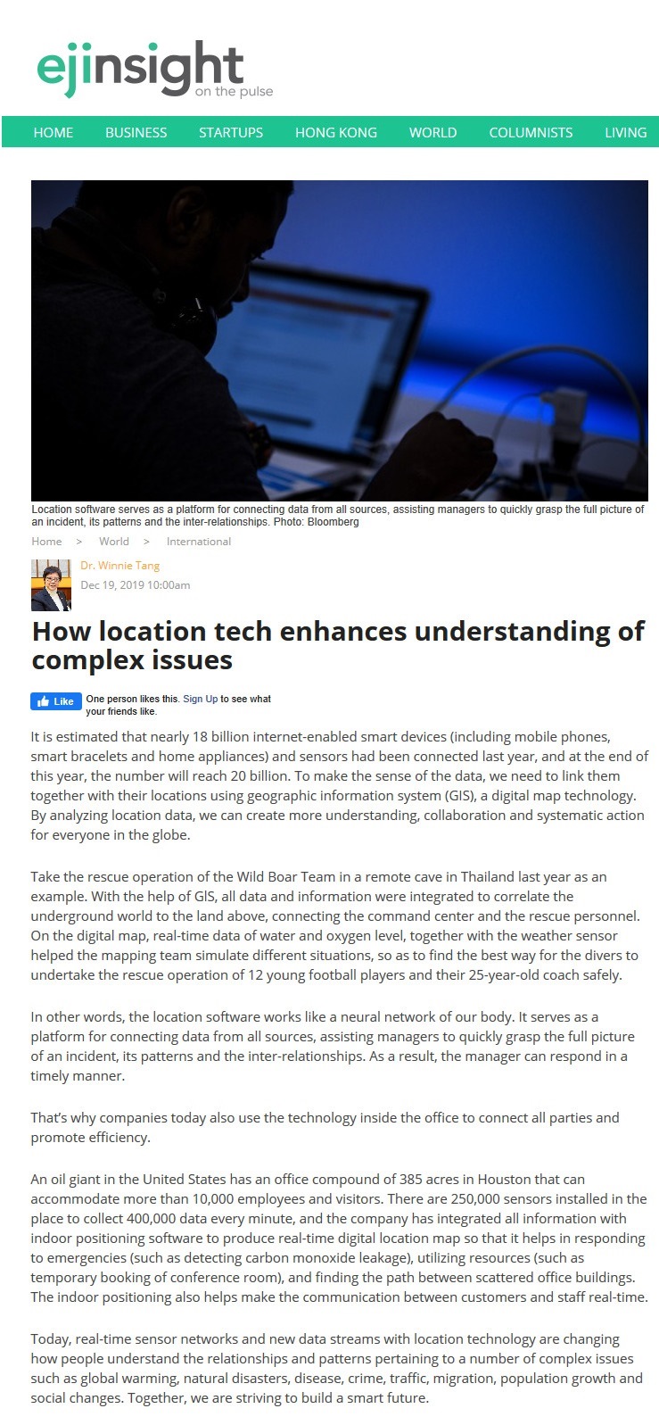
In other words, the location software works like a neural network of our body. It serves as a platform for connecting data from all sources, assisting managers to quickly grasp the full picture of an incident, its patterns and the inter-relationships. As a result, the manager can respond in a timely manner.
That's why companies today also use the technology inside the office to connect all parties and promote efficiency.
An oil giant in the United States has an office compound of 385 acres in Houston that can accommodate more than 10,000 employees and visitors. There are 250,000 sensors installed in the place to collect 400,000 data every minute, and the company has integrated all information with indoor positioning software to produce real-time digital location map so that it helps in responding to emergencies (such as detecting carbon monoxide leakage), utilizing resources (such as temporary booking of conference room), and finding the path between scattered office buildings. The indoor positioning also helps make the communication between customers and staff real-time.
Today, real-time sensor networks and new data streams with location technology are changing how people understand the relationships and patterns pertaining to a number of complex issues such as global warming, natural disasters, disease, crime, traffic, migration, population growth and social changes. Together, we are striving to build a smart future.
Dr. Winnie Tang
Adjunct Professor, Department of Computer Science, Faculty of Engineering and Faculty of Architecture, The University of Hong Kong