網上版請按此
How to enable speedy recovery from disasters
With global warming, super typhoons are expected to become increasingly frequent. To enable the government to respond faster to such situations – before, during and after the calamity – is a matter of interest to everyone in Hong Kong.
As a practitioner in information technology, I think the lesson we have learned is that the government should consolidate information on real-time conditions covering the whole territory to enable better decision-making.
As Mangkhut wreaked havoc on the territory in September, the government hotline 1823 was overwhelmed by reports of fallen trees and other debris on the roads, non-functioning traffic lights and other emergency situations.
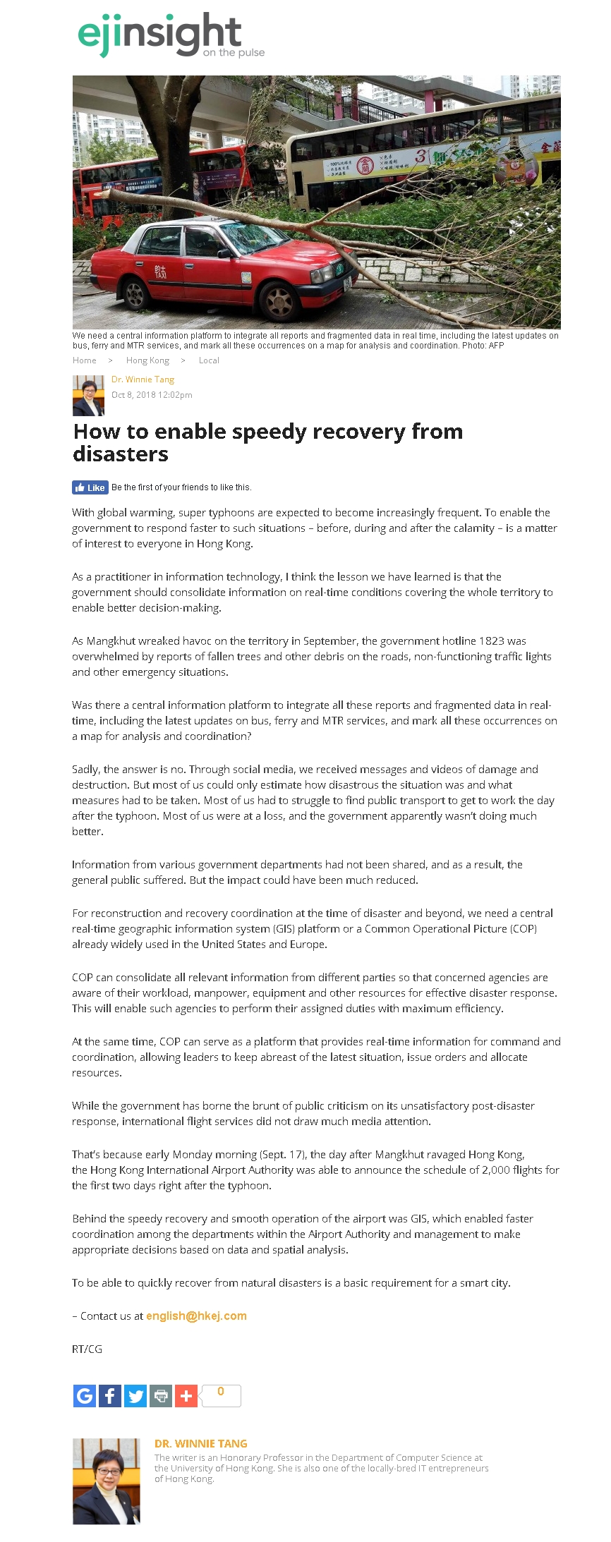
Was there a central information platform to integrate all these reports and fragmented data in real-time, including the latest updates on bus, ferry and MTR services, and mark all these occurrences on a map for analysis and coordination?
Sadly, the answer is no. Through social media, we received messages and videos of damage and destruction. But most of us could only estimate how disastrous the situation was and what measures had to be taken. Most of us had to struggle to find public transport to get to work the day after the typhoon. Most of us were at a loss, and the government apparently wasn’t doing much better.
Information from various government departments had not been shared, and as a result, the general public suffered. But the impact could have been much reduced.
For reconstruction and recovery coordination at the time of disaster and beyond, we need a central real-time geographic information system (GIS) platform or a Common Operational Picture (COP) already widely used in the United States and Europe.
COP can consolidate all relevant information from different parties so that concerned agencies are aware of their workload, manpower, equipment and other resources for effective disaster response. This will enable such agencies to perform their assigned duties with maximum efficiency.
At the same time, COP can serve as a platform that provides real-time information for command and coordination, allowing leaders to keep abreast of the latest situation, issue orders and allocate resources.
While the government has borne the brunt of public criticism on its unsatisfactory post-disaster response, international flight services did not draw much media attention.
That's because early Monday morning (Sept. 17), the day after Mangkhut ravaged Hong Kong, the Hong Kong International Airport Authority was able to announce the schedule of 2,000 flights for the first two days right after the typhoon.
Behind the speedy recovery and smooth operation of the airport was GIS, which enabled faster coordination among the departments within the Airport Authority and management to make appropriate decisions based on data and spatial analysis.
To be able to quickly recover from natural disasters is a basic requirement for a smart city.
Dr. Winnie Tang
Honorary Professor, Department of Computer Science, The University of Hong Kong