網上版請按此
Geospatial data plays vital role in smart city development
Hong Kong is fortunate to benefit from infrastructure developed and managed by advanced technology entities and dedicated government departments. The Environmental Protection Department, for example, carries out air pollution analysis; the Observatory collects, studies and disseminates weather data; the Highways Department is responsible for roadworks; and the Transport Department takes care of traffic management.
But what about the asset that helps in finding the shortest route to a destination, locating a lost child or elderly, coordinating search and rescue operations, tracking the real-time location of buses, and facilitating the development of autonomous vehicles?
This invisible asset is geospatial data or location-based service. It plays an essential role in our daily lives, in businesses and society as a whole.
Chief Executive Carrie Lam Cheng Yuet-ngor has kept reminding us to speed up innovation and technology development. It is imperative, therefore, that a dedicated department be established to develop our policies and standards in this field as soon as possible.
Meanwhile, we should start by including the function of transceiving accurate positioning information in the smart lamppost project which is a major smart city pilot program. With this, we can lay a strong foundation for future development.
Many countries such as the United States, Japan, Australia, and Canada have developed policies, laws, standards, and dedicated departments to manage geospatial data, from collecting to disseminating and sharing such data with the public. This is to make the best use of the potential and value of this resource.
The Federal Geographic Data Committee of the US provides executive, managerial, and advisory direction and oversight for geospatial decisions and initiatives across the federal government.
The Australian government recognizes the value of geospatial data. It is estimated that accurate spatial data (with an accuracy of 2-5 centimeters) can bring about A$73 billion (US$55 billion) of value to the Australian economy by 2030.
The technologies can enable a range of innovative applications, including productivity improvements for agriculture, mining, engineering, logistics, transportation and location-based services.
In fact, a government organization, Geoscience Australia, has been formed to coordinate various departments responsible for location information in all cities.
Sharing with the public is the best possible way to maximize the value of data. Japan's Basic Act on the Advancement of Utilizing Geospatial Information, passed in 2007, allows citizens to gain access to located-based information for free.
In 2013, the government of Canada also launched an open data portal (data.gc.ca) to ensure easy and consistent access to the government data and information to accelerate innovation for prosperity. Out of the more than 200,000 datasets, 97 percent are geospatial datasets.
Innovative entrepreneurs have proved to be and will continue to act as major contributors of applied technology. Hong Kong should step up measures in promoting innovation and smart city development.
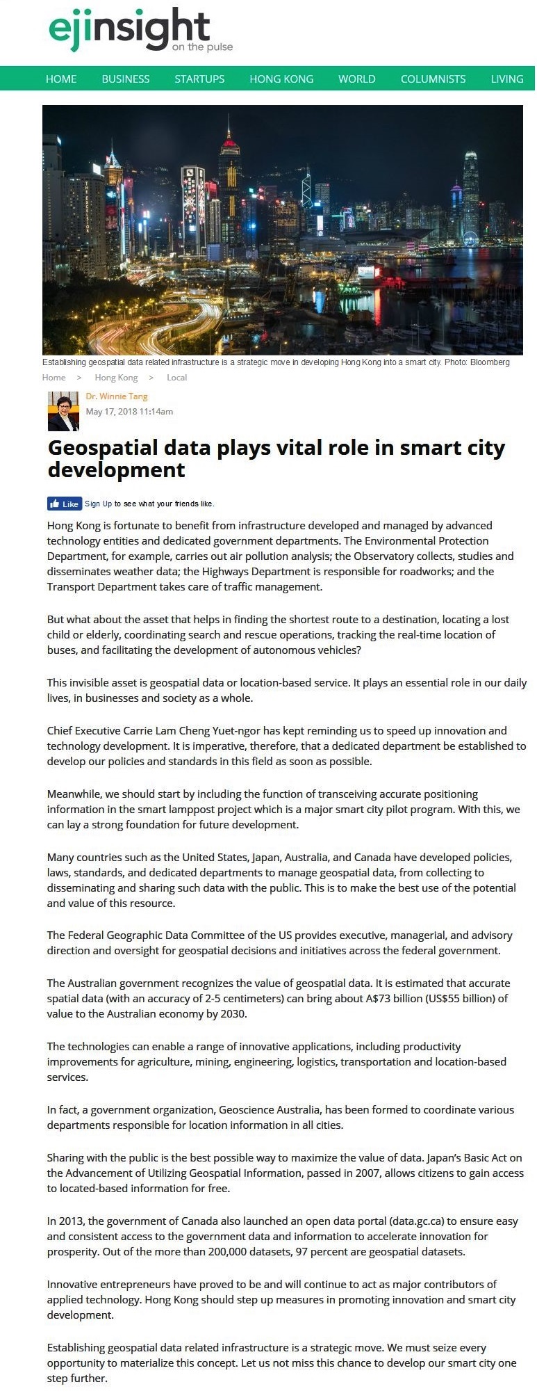
Establishing geospatial data related infrastructure is a strategic move. We must seize every opportunity to materialize this concept. Let us not miss this chance to develop our smart city one step further.
Dr. Winnie Tang
Honorary Professor, Department of Computer Science, The University of Hong Kong