網上版請按此
Spatial thinking inspires planning for future
Tsinghua University and LinkedIn, a professional social networking platform, has recently released The China Digital Economy Talent Report. The study finds a huge talent gap in newly emerged fields such as big data analysis and digital marketing. The shortage of training expertise in emerging technologies and innovations is also severe.
Encouraging the next generation of our labor force to study information technology (IT) and engage in IT-related work will not only fill up more vacancies but also enhance our competitiveness. But how do we inspire our youngsters, especially the underprivileged, to broaden their imagination, enabling them to connect with the real world and plan their life and society? Education is crucial in this regard.
That is why STEM education (science, technology, engineering and mathematics) is so crucial in primary schools. These basic fields of knowledge will help them understand that the world is increasingly dependent on information technology.
The government is putting more emphasis on this area. Both the Policy Address and the Smart City Blueprint for Hong Kong have dwelled on how to promote STEM education.
However, to enhance analytical skills, another kind of knowledge that is equally important is spatial thinking. It is estimated that 60 percent of human brain activity is connected with what we see, and the coordination of the eyes and the brain is vital in our daily lives.
To know where we are and the relative location of the outside world (e.g., buildings, cars and other people) is a very important ability. Our ancestors could not find food or procreate without spatial cognition.
Studies have found that the human brain, like that of migrating birds, has a very sophisticated tracking system. It is like a built-in global positioning system (GPS) that allows us to travel from one location to another. This instinct has allowed human beings to survive for millions of years.
Spatial thinking can help us to visualize macro problems such as climate change, aging population, transport planning, and the disparity between the rich and the poor. Combining data with geospatial information can form a clear view of the situation, making decision-making broader and more comprehensive.
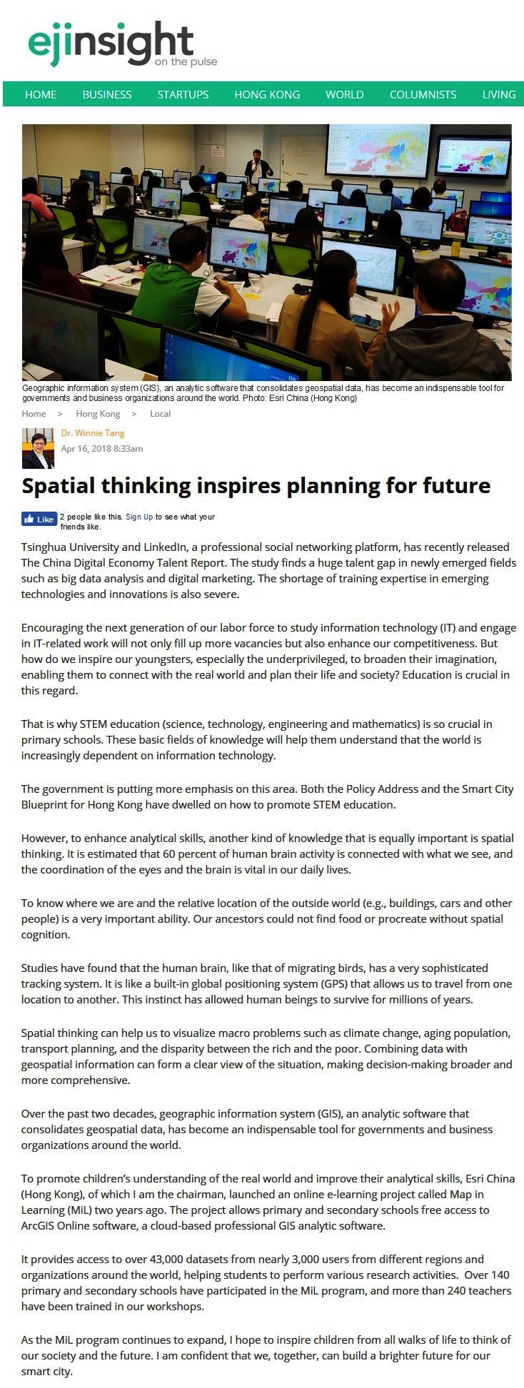
Over the past two decades, geographic information system (GIS), an analytic software that consolidates geospatial data, has become an indispensable tool for governments and business organizations around the world.
To promote children's understanding of the real world and improve their analytical skills, Esri China (Hong Kong), of which I am the chairman, launched an online e-learning project called Map in Learning (MiL) two years ago. The project allows primary and secondary schools free access to ArcGIS Online software, a cloud-based professional GIS analytic software.
It provides access to over 43,000 datasets from nearly 3,000 users from different regions and organizations around the world, helping students to perform various research activities. Over 140 primary and secondary schools have participated in the MiL program, and more than 240 teachers have been trained in our workshops.
As the MiL program continues to expand, I hope to inspire children from all walks of life to think of our society and the future. I am confident that we, together, can build a brighter future for our smart city.
Dr. Winnie Tang
Honorary Professor, Department of Computer Science, The University of Hong Kong