網上版請按此

Building a GIS-based smart city
The 2016-17 Budget carries on the direction of the Policy Address, where there is substantial mention of policies related to innovation and technology development. These include the Pilot Technology Voucher Program that encourages SMEs to use technology to conduct research and development, the development of robots and intelligent home care, and continuous promotion of Fintech development. This is encouraging news for the technology sector.
I was particularly heartened when Financial Secretary John Tang suggested at the 2016 Budget announcement that "we shall refine the existing geographic information systems (GIS) and explore ways to align and integrate the spatial data in Hong Kong, including the location and relevant information of facilities that are above, on and under ground level”. But I believe many may find it puzzling how GIS and spatial data can enable a smart city.
GIS data facilitates planning of a smart city
They are absolutely related. GIS, a system designed to capture, store, manipulate, analyze, manage and present all types of spatial data brings a new dimension towards smart city development.
For example, at the planning stage of building a smart city, GIS allows the government to analyze the population and its demographics based on their geographical distribution. Such analysis enables optimized development of public facilities such as transport, schools and hospitals. The information is also an important foundation to introduce other smart city services like e-health, e-learning and electric vehicles.
Although many government departments have well-developed GIS, they are limited for internal use and not available to the public.
Different government departments like Lands Department, Highways Department, Civil Engineering and Development Department have their dedicated GIS. But they rarely communicate with each other, nor release such information to the public.
Currently, the GeoInfo Map developed by the Lands Department contains over 180 kinds of spatial data provided by 26 government departments. This is a good example of the government departments collaborating to offer geographic information for public use. But the service does not include the sharing of application programming interfaces (APIs), which is the foundation for the public and startup community to develop applications that interact with spatial data. Without opening up the APIs of the GeoInfo Map, the public cannot take advantage and integrate the spatial data in their applications to benefit society.
SDI to bring openness
Therefore a spatial data infrastructure (SDI) is an important foundation for building a smart city. SDI refers to a framework that collects, processes and manages a series of spatial data and geographic information related science and technologies, policies and systems. One of the major components within this framework is the management of APIs.
Many countries have recognized SDI as an important digital infrastructure. The United States started its development of a national SDI in 2003. Different geographic information was integrated through GeoPlatform.gov with APIs available for the general public. Europe and Singapore also have similar projects, called Infrastructure for Spatial Information in European Community (INSPIRE) and the Singapore Geospatial Collaborative Environment (SG-SPACE) respectively.
Recently, the Los Angeles government also launched GeoHub, a city-level SDI. It contains more than 500 kinds of public geographic information provided by the LA government departments. It aims to improve public awareness of community issues, and also enhances government departments’ efficiency and cooperation. GeoHub currently collects information like public road works, traffic black spots from public and private sectors.
Services similar to GeoHub promote creativity of the society. Through sharing the APIs, the private sector or individuals that are familiar with programming can utilize the geographic information, like real-time traffic condition, road works, building inspections, business statistics from the GeoHub to create their own applications or services.
This year's Policy Address has updated the Chinese translation of the phrase “smart city” to better reflect the true and accurate meaning of the word. The government's development in SDI is also a wise move and a big step forward in the development of a smart city.
I hope the government will expeditiously implement the relevant measures mentioned in the Budget to encourage the public to use geographic information and spatial data. Together, we shall build a better society.
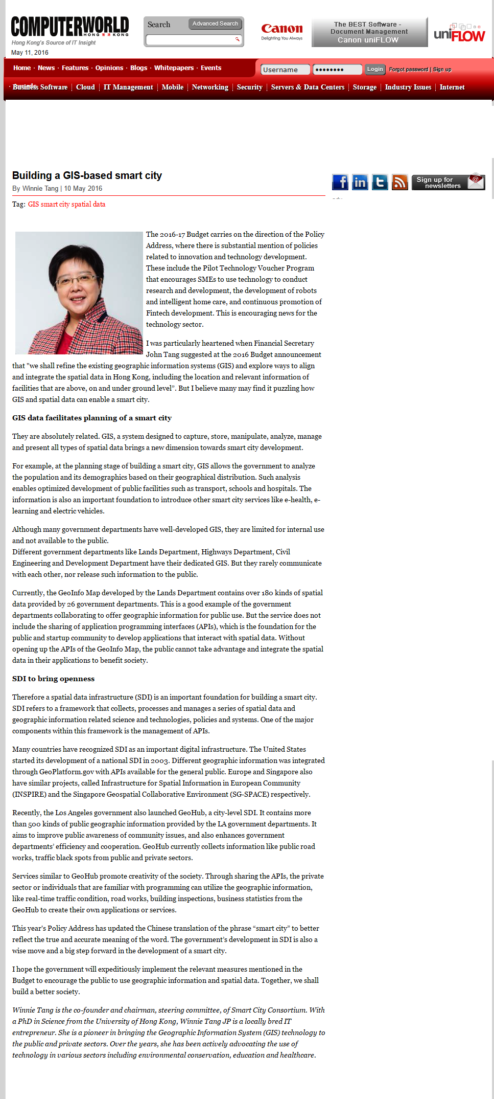
Winnie Tang is the co-founder and chairman, steering committee, of Smart City Consortium. With a PhD in Science from the University of Hong Kong, Winnie Tang JP is a locally bred IT entrepreneur. She is a pioneer in bringing the Geographic Information System (GIS) technology to the public and private sectors. Over the years, she has been actively advocating the use of technology in various sectors including environmental conservation, education and healthcare.