網上版請按此
Responding to urban management problems with advanced technology
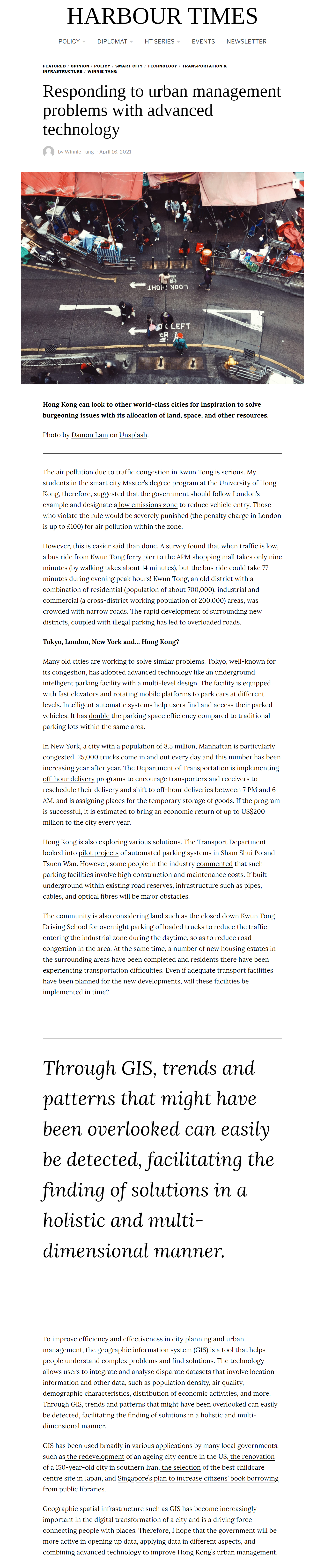
The air pollution due to traffic congestion in Kwun Tong is serious. My students in the smart city Master's degree program at the University of Hong Kong, therefore, suggested that the government should follow London's example and designate a low emissions zone to reduce vehicle entry. Those who violate the rule would be severely punished (the penalty charge in London is up to £100) for air pollution within the zone.
However, this is easier said than done. A survey found that when traffic is low, a bus ride from Kwun Tong ferry pier to the APM shopping mall takes only nine minutes (by walking takes about 14 minutes), but the bus ride could take 77 minutes during evening peak hours! Kwun Tong, an old district with a combination of residential (population of about 700,000), industrial and commercial (a cross-district working population of 200,000) areas, was crowded with narrow roads. The rapid development of surrounding new districts, coupled with illegal parking has led to overloaded roads.
Tokyo, London, New York and… Hong Kong?
Many old cities are working to solve similar problems. Tokyo, well-known for its congestion, has adopted advanced technology like an underground intelligent parking facility with a multi-level design. The facility is equipped with fast elevators and rotating mobile platforms to park cars at different levels. Intelligent automatic systems help users find and access their parked vehicles. It has double the parking space efficiency compared to traditional parking lots within the same area.
In New York, a city with a population of 8.5 million, Manhattan is particularly congested. 25,000 trucks come in and out every day and this number has been increasing year after year. The Department of Transportation is implementing off-hour delivery programs to encourage transporters and receivers to reschedule their delivery and shift to off-hour deliveries between 7 PM and 6 AM, and is assigning places for the temporary storage of goods. If the program is successful, it is estimated to bring an economic return of up to US$200 million to the city every year.
Hong Kong is also exploring various solutions. The Transport Department looked into pilot projects of automated parking systems in Sham Shui Po and Tsuen Wan. However, some people in the industry commented that such parking facilities involve high construction and maintenance costs. If built underground within existing road reserves, infrastructure such as pipes, cables, and optical fibres will be major obstacles.
The community is also considering land such as the closed down Kwun Tong Driving School for overnight parking of loaded trucks to reduce the traffic entering the industrial zone during the daytime, so as to reduce road congestion in the area. At the same time, a number of new housing estates in the surrounding areas have been completed and residents there have been experiencing transportation difficulties. Even if adequate transport facilities have been planned for the new developments, will these facilities be implemented in time?
To improve efficiency and effectiveness in city planning and urban management, the geographic information system (GIS) is a tool that helps people understand complex problems and find solutions. The technology allows users to integrate and analyse disparate datasets that involve location information and other data, such as population density, air quality, demographic characteristics, distribution of economic activities, and more. Through GIS, trends and patterns that might have been overlooked can easily be detected, facilitating the finding of solutions in a holistic and multi-dimensional manner.
GIS has been used broadly in various applications by many local governments, such as the redevelopment of an ageing city centre in the US, the renovation of a 150-year-old city in southern Iran, the selection of the best childcare centre site in Japan, and Singapore's plan to increase citizens' book borrowing from public libraries.
Geographic spatial infrastructure such as GIS has become increasingly important in the digital transformation of a city and is a driving force connecting people with places. Therefore, I hope that the government will be more active in opening up data, applying data in different aspects, and combining advanced technology to improve Hong Kong’s urban management.
Dr. Winnie Tang
Adjunct Professor, Department of Computer Science, Faculty of Engineering; Department of Geography, Faculty of Social Sciences; and Faculty of Architecture, The University of Hong Kong