網上版請按此

Digitising the information of underground drainage network
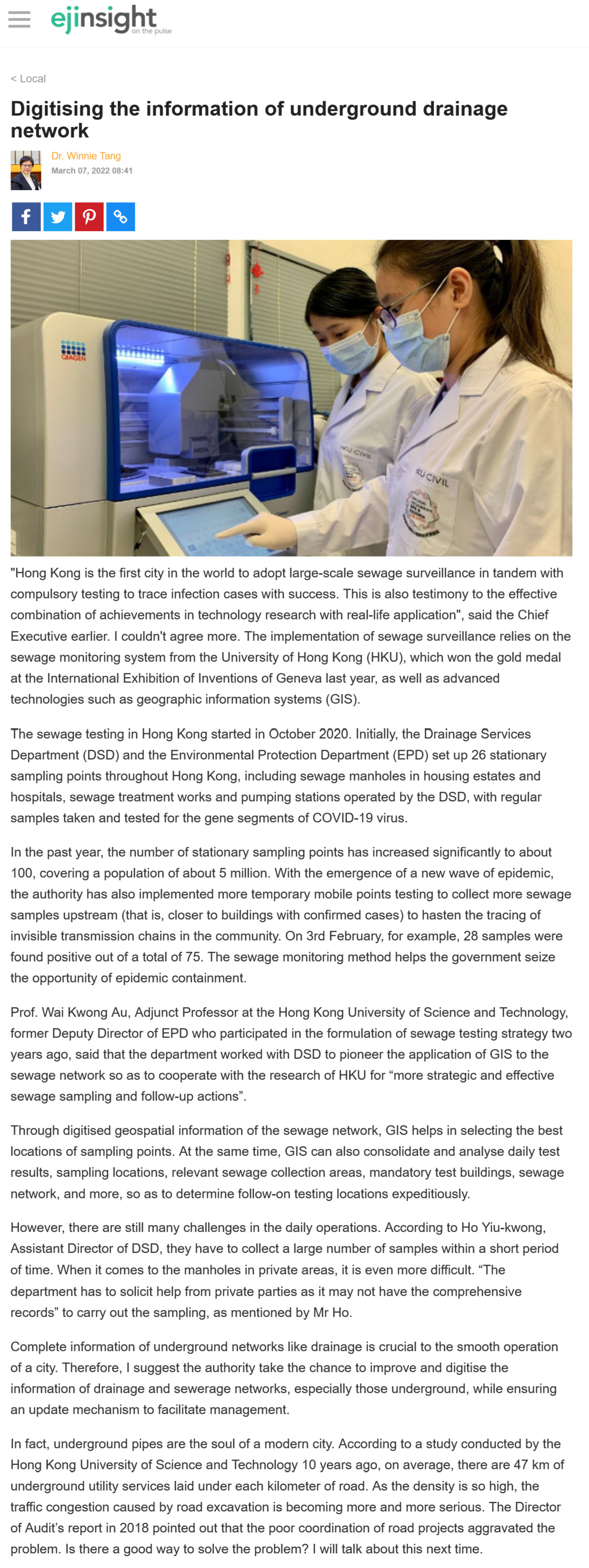
"Hong Kong is the first city in the world to adopt large-scale sewage surveillance in tandem with compulsory testing to trace infection cases with success. This is also testimony to the effective combination of achievements in technology research with real-life application", said the Chief Executive earlier. I couldn't agree more. The implementation of sewage surveillance relies on the sewage monitoring system from the University of Hong Kong (HKU), which won the gold medal at the International Exhibition of Inventions of Geneva last year, as well as advanced technologies such as geographic information systems (GIS).
The sewage testing in Hong Kong started in October 2020. Initially, the Drainage Services Department (DSD) and the Environmental Protection Department (EPD) set up 26 stationary sampling points throughout Hong Kong, including sewage manholes in housing estates and hospitals, sewage treatment works and pumping stations operated by the DSD, with regular samples taken and tested for the gene segments of COVID-19 virus.
In the past year, the number of stationary sampling points has increased significantly to about 100, covering a population of about 5 million. With the emergence of a new wave of epidemic, the authority has also implemented more temporary mobile points testing to collect more sewage samples upstream (that is, closer to buildings with confirmed cases) to hasten the tracing of invisible transmission chains in the community. On 3rd February, for example, 28 samples were found positive out of a total of 75. The sewage monitoring method helps the government seize the opportunity of epidemic containment.
Prof. Wai Kwong Au, Adjunct Professor at the Hong Kong University of Science and Technology, former Deputy Director of EPD who participated in the formulation of sewage testing strategy two years ago, said that the department worked with DSD to pioneer the application of GIS to the sewage network so as to cooperate with the research of HKU for "more strategic and effective sewage sampling and follow-up actions".
Through digitised geospatial information of the sewage network, GIS helps in selecting the best locations of sampling points. At the same time, GIS can also consolidate and analyse daily test results, sampling locations, relevant sewage collection areas, mandatory test buildings, sewage network, and more, so as to determine follow-on testing locations expeditiously.
However, there are still many challenges in the daily operations. According to Ho Yiu-kwong, Assistant Director of DSD, they have to collect a large number of samples within a short period of time. When it comes to the manholes in private areas, it is even more difficult. "The department has to solicit help from private parties as it may not have the comprehensive records" to carry out the sampling, as mentioned by Mr Ho.
Complete information of underground networks like drainage is crucial to the smooth operation of a city. Therefore, I suggest the authority take the chance to improve and digitise the information of drainage and sewerage networks, especially those underground, while ensuring an update mechanism to facilitate management.
In fact, underground pipes are the soul of a modern city. According to a study conducted by the Hong Kong University of Science and Technology 10 years ago, on average, there are 47 km of underground utility services laid under each kilometer of road. As the density is so high, the traffic congestion caused by road excavation is becoming more and more serious. The Director of Audit's report in 2018 pointed out that the poor coordination of road projects aggravated the problem. Is there a good way to solve the problem? I will talk about this next time.
Dr. Winnie Tang
Adjunct Professor, Department of Computer Science, Faculty of Engineering; Department of Geography, Faculty of Social Sciences; and Faculty of Architecture, The University of Hong Kong