網上版請按此

Advanced technologies can enhance hiking safety
As of mid-July this year, the Fire Department has recorded 12 fatalities in hiking accidents, close to the total of last year.
With the stabilised epidemic trend, the relaxation of social distancing measures without requiring wearing masks in country parks or physical activity in outdoor places in May has encouraged more hikers flocking to popular outdoor trails.
There were over 36,000 special services calls for Government Flying Service in 2021, representing an increase of more than 10% as against the 2020 figure (32,358). Among them, there were 951 cases involving mountain rescue, a sharp increase of 58% compared with 2020 (602 cases). These incidents left nearly 600 persons injured and 14 dead, 10 firefighters were injured in the mountain rescue operations.
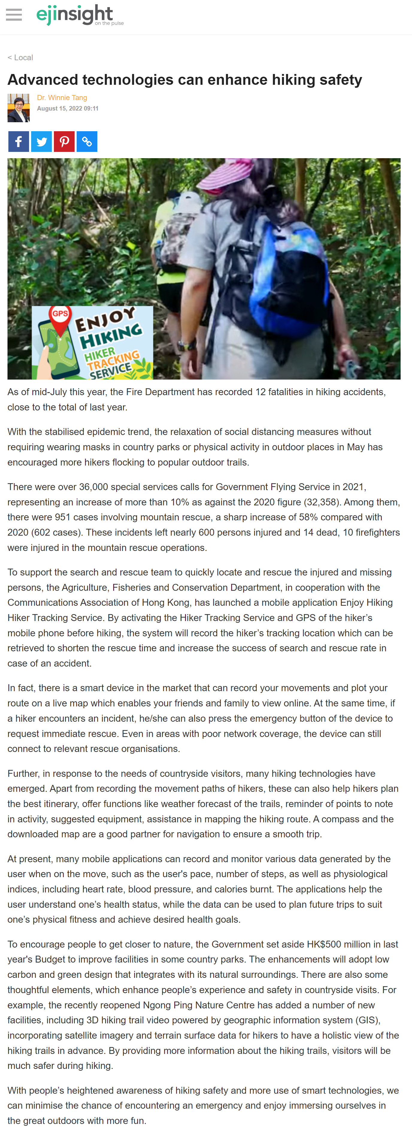
To support the search and rescue team to quickly locate and rescue the injured and missing persons, the Agriculture, Fisheries and Conservation Department, in cooperation with the Communications Association of Hong Kong, has launched a mobile application Enjoy Hiking Hiker Tracking Service. By activating the Hiker Tracking Service and GPS of the hiker’s mobile phone before hiking, the system will record the hiker’s tracking location which can be retrieved to shorten the rescue time and increase the success of search and rescue rate in case of an accident.
In fact, there is a smart device in the market that can record your movements and plot your route on a live map which enables your friends and family to view online. At the same time, if a hiker encounters an incident, he/she can also press the emergency button of the device to request immediate rescue. Even in areas with poor network coverage, the device can still connect to relevant rescue organisations.
Further, in response to the needs of countryside visitors, many hiking technologies have emerged. Apart from recording the movement paths of hikers, these can also help hikers plan the best itinerary, offer functions like weather forecast of the trails, reminder of points to note in activity, suggested equipment, assistance in mapping the hiking route. A compass and the downloaded map are a good partner for navigation to ensure a smooth trip.
At present, many mobile applications can record and monitor various data generated by the user when on the move, such as the user's pace, number of steps, as well as physiological indices, including heart rate, blood pressure, and calories burnt. The applications help the user understand one’s health status, while the data can be used to plan future trips to suit one’s physical fitness and achieve desired health goals.
To encourage people to get closer to nature, the Government set aside HK$500 million in last year's Budget to improve facilities in some country parks. The enhancements will adopt low carbon and green design that integrates with its natural surroundings. There are also some thoughtful elements, which enhance people’s experience and safety in countryside visits. For example, the recently reopened Ngong Ping Nature Centre has added a number of new facilities, including 3D hiking trail video powered by geographic information system (GIS), incorporating satellite imagery and terrain surface data for hikers to have a holistic view of the hiking trails in advance. By providing more information about the hiking trails, visitors will be much safer during hiking.
With people’s heightened awareness of hiking safety and more use of smart technologies, we can minimise the chance of encountering an emergency and enjoy immersing ourselves in the great outdoors with more fun.
Dr. Winnie Tang
Adjunct Professor, Department of Computer Science, Faculty of Engineering; Department of Geography, Faculty of Social Sciences; and Faculty of Architecture, The University of Hong Kong