網上版請按此

Good use of caverns will increase our land reserves
Online shopping and work from home have become the new normal after the three-year pandemic, driving the demand for network connectivity and creating strong demand for data centres. At the same time, to consolidate Hong Kong's position as a hub for international data centres, there is an urgent need to find more land to develop data centres, and cavern is one of the options.
According to the authorities, the advantages of cavern as a data centre are safety, power saving, easy heat dissipation and less radiation effect, all of which can reduce operating costs. So far, eleven caverns have been identified for development.
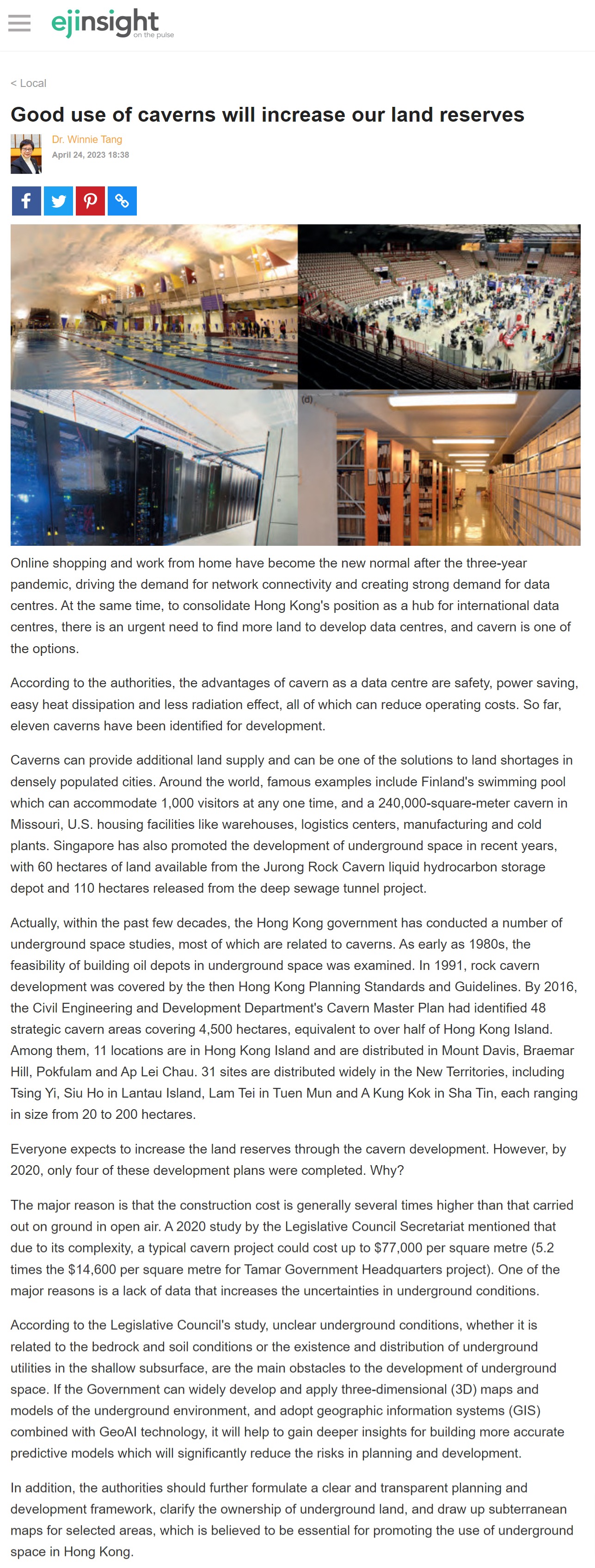
Caverns can provide additional land supply and can be one of the solutions to land shortages in densely populated cities. Around the world, famous examples include Finland's swimming pool which can accommodate 1,000 visitors at any one time, and a 240,000-square-meter cavern in Missouri, U.S. housing facilities like warehouses, logistics centers, manufacturing and cold plants. Singapore has also promoted the development of underground space in recent years, with 60 hectares of land available from the Jurong Rock Cavern liquid hydrocarbon storage depot and 110 hectares released from the deep sewage tunnel project.
Actually, within the past few decades, the Hong Kong government has conducted a number of underground space studies, most of which are related to caverns. As early as 1980s, the feasibility of building oil depots in underground space was examined. In 1991, rock cavern development was covered by the then Hong Kong Planning Standards and Guidelines. By 2016, the Civil Engineering and Development Department's Cavern Master Plan had identified 48 strategic cavern areas covering 4,500 hectares, equivalent to over half of Hong Kong Island. Among them, 11 locations are in Hong Kong Island and are distributed in Mount Davis, Braemar Hill, Pokfulam and Ap Lei Chau. 31 sites are distributed widely in the New Territories, including Tsing Yi, Siu Ho in Lantau Island, Lam Tei in Tuen Mun and A Kung Kok in Sha Tin, each ranging in size from 20 to 200 hectares.
Everyone expects to increase the land reserves through the cavern development. However, by 2020, only four of these development plans were completed. Why?
The major reason is that the construction cost is generally several times higher than that carried out on ground in open air. A 2020 study by the Legislative Council Secretariat mentioned that due to its complexity, a typical cavern project could cost up to $77,000 per square metre (5.2 times the $14,600 per square metre for Tamar Government Headquarters project). One of the major reasons is a lack of data that increases the uncertainties in underground conditions.
According to the Legislative Council's study, unclear underground conditions, whether it is related to the bedrock and soil conditions or the existence and distribution of underground utilities in the shallow subsurface, are the main obstacles to the development of underground space. If the Government can widely develop and apply three-dimensional (3D) maps and models of the underground environment, and adopt geographic information systems (GIS) combined with GeoAI technology, it will help to gain deeper insights for building more accurate predictive models which will significantly reduce the risks in planning and development.
In addition, the authorities should further formulate a clear and transparent planning and development framework, clarify the ownership of underground land, and draw up subterranean maps for selected areas, which is believed to be essential for promoting the use of underground space in Hong Kong.
Dr. Winnie Tang
Adjunct Professor, Department of Computer Science, Faculty of Engineering; Department of Geography, Faculty of Social Sciences; and Faculty of Architecture, The University of Hong Kong