網上版請按此
How GIS integrates with feng shui
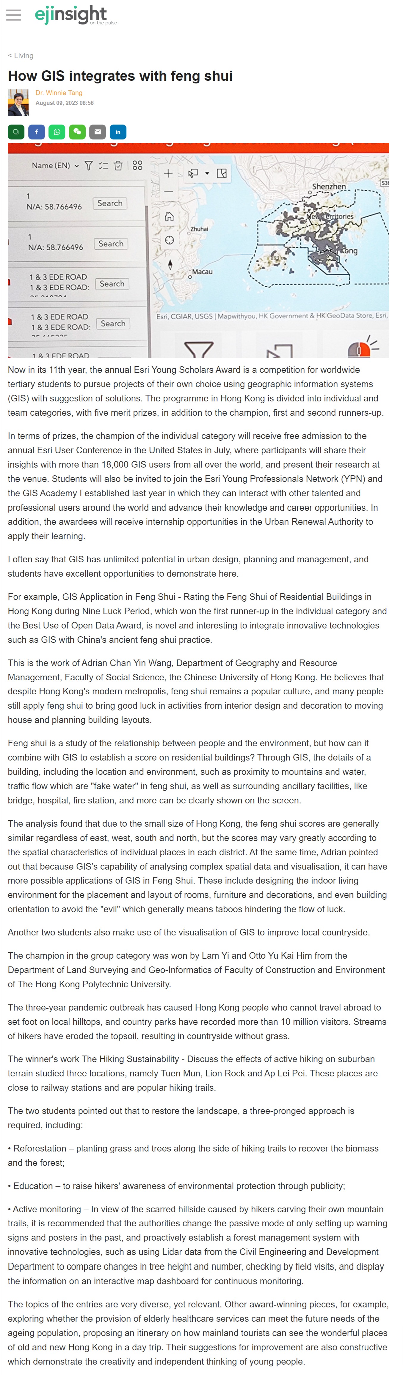
Now in its 11th year, the annual Esri Young Scholars Award is a competition for worldwide tertiary students to pursue projects of their own choice using geographic information systems (GIS) with suggestion of solutions. The programme in Hong Kong is divided into individual and team categories, with five merit prizes, in addition to the champion, first and second runners-up.
In terms of prizes, the champion of the individual category will receive free admission to the annual Esri User Conference in the United States in July, where participants will share their insights with more than 18,000 GIS users from all over the world, and present their research at the venue. Students will also be invited to join the Esri Young Professionals Network (YPN) and the GIS Academy I established last year in which they can interact with other talented and professional users around the world and advance their knowledge and career opportunities. In addition, the awardees will receive internship opportunities in the Urban Renewal Authority to apply their learning.
I often say that GIS has unlimited potential in urban design, planning and management, and students have excellent opportunities to demonstrate here.
For example, GIS Application in Feng Shui - Rating the Feng Shui of Residential Buildings in Hong Kong during Nine Luck Period, which won the first runner-up in the individual category and the Best Use of Open Data Award, is novel and interesting to integrate innovative technologies such as GIS with China's ancient feng shui practice.
This is the work of Adrian Chan Yin Wang, Department of Geography and Resource Management, Faculty of Social Science, the Chinese University of Hong Kong. He believes that despite Hong Kong's modern metropolis, feng shui remains a popular culture, and many people still apply feng shui to bring good luck in activities from interior design and decoration to moving house and planning building layouts.
Feng shui is a study of the relationship between people and the environment, but how can it combine with GIS to establish a score on residential buildings? Through GIS, the details of a building, including the location and environment, such as proximity to mountains and water, traffic flow which are "fake water" in feng shui, as well as surrounding ancillary facilities, like bridge, hospital, fire station, and more can be clearly shown on the screen.
The analysis found that due to the small size of Hong Kong, the feng shui scores are generally similar regardless of east, west, south and north, but the scores may vary greatly according to the spatial characteristics of individual places in each district. At the same time, Adrian pointed out that because GIS's capability of analysing complex spatial data and visualisation, it can have more possible applications of GIS in Feng Shui. These include designing the indoor living environment for the placement and layout of rooms, furniture and decorations, and even building orientation to avoid the "evil" which generally means taboos hindering the flow of luck.
Another two students also make use of the visualisation of GIS to improve local countryside.
The champion in the group category was won by Lam Yi and Otto Yu Kai Him from the Department of Land Surveying and Geo-Informatics of Faculty of Construction and Environment of The Hong Kong Polytechnic University.
The three-year pandemic outbreak has caused Hong Kong people who cannot travel abroad to set foot on local hilltops, and country parks have recorded more than 10 million visitors. Streams of hikers have eroded the topsoil, resulting in countryside without grass.
The winner's work The Hiking Sustainability - Discuss the effects of active hiking on suburban terrain studied three locations, namely Tuen Mun, Lion Rock and Ap Lei Pei. These places are close to railway stations and are popular hiking trails.
The two students pointed out that to restore the landscape, a three-pronged approach is required, including:
• Reforestation – planting grass and trees along the side of hiking trails to recover the biomass and the forest;
• Education – to raise hikers' awareness of environmental protection through publicity;
• Active monitoring – In view of the scarred hillside caused by hikers carving their own mountain trails, it is recommended that the authorities change the passive mode of only setting up warning signs and posters in the past, and proactively establish a forest management system with innovative technologies, such as using Lidar data from the Civil Engineering and Development Department to compare changes in tree height and number, checking by field visits, and display the information on an interactive map dashboard for continuous monitoring.
The topics of the entries are very diverse, yet relevant. Other award-winning pieces, for example, exploring whether the provision of elderly healthcare services can meet the future needs of the ageing population, proposing an itinerary on how mainland tourists can see the wonderful places of old and new Hong Kong in a day trip. Their suggestions for improvement are also constructive which demonstrate the creativity and independent thinking of young people.
Dr. Winnie Tang
Adjunct Professor, Department of Computer Science, Faculty of Engineering; Department of Geography, Faculty of Social Sciences; and Faculty of Architecture, The University of Hong Kong