網上版請按此
Visualisation is the best way for communication
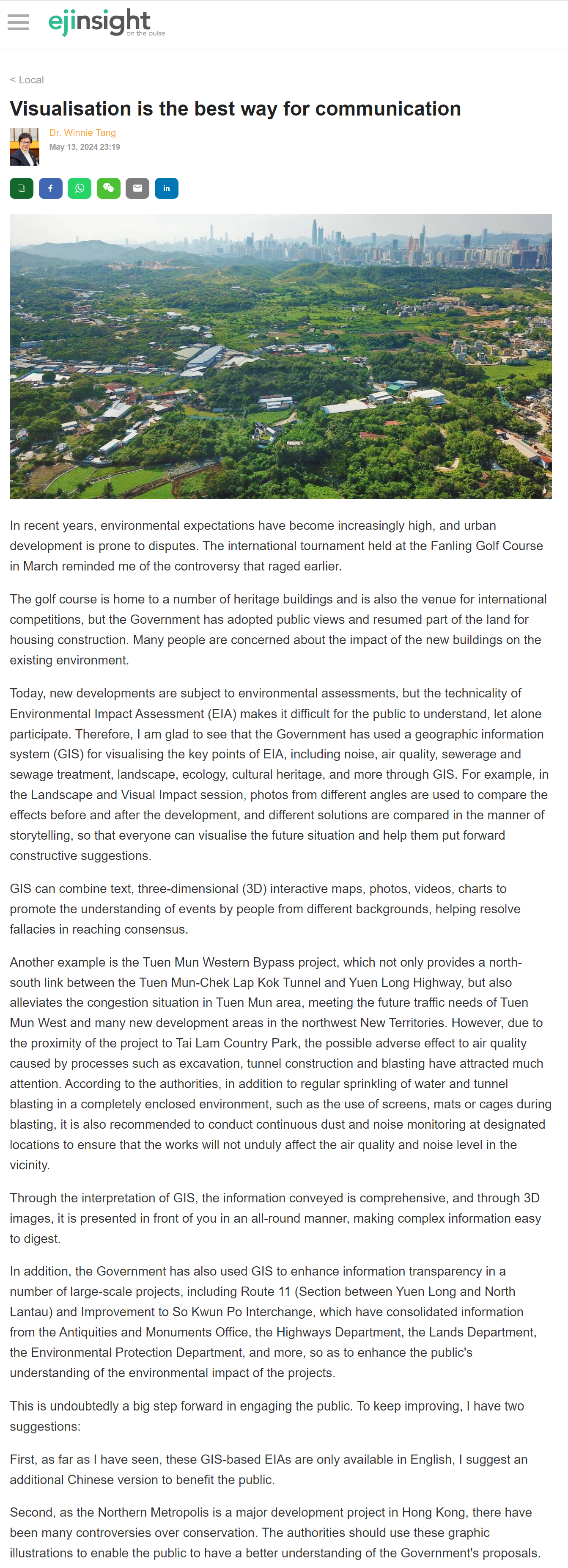
In recent years, environmental expectations have become increasingly high, and urban development is prone to disputes. The international tournament held at the Fanling Golf Course in March reminded me of the controversy that raged earlier.
The golf course is home to a number of heritage buildings and is also the venue for international competitions, but the Government has adopted public views and resumed part of the land for housing construction. Many people are concerned about the impact of the new buildings on the existing environment.
Today, new developments are subject to environmental assessments, but the technicality of Environmental Impact Assessment (EIA) makes it difficult for the public to understand, let alone participate. Therefore, I am glad to see that the Government has used a geographic information system (GIS) for visualising the key points of EIA, including noise, air quality, sewerage and sewage treatment, landscape, ecology, cultural heritage, and more through GIS. For example, in the Landscape and Visual Impact session, photos from different angles are used to compare the effects before and after the development, and different solutions are compared in the manner of storytelling, so that everyone can visualise the future situation and help them put forward constructive suggestions.
GIS can combine text, three-dimensional (3D) interactive maps, photos, videos, charts to promote the understanding of events by people from different backgrounds, helping resolve fallacies in reaching consensus.
Another example is the Tuen Mun Western Bypass project, which not only provides a north-south link between the Tuen Mun-Chek Lap Kok Tunnel and Yuen Long Highway, but also alleviates the congestion situation in Tuen Mun area, meeting the future traffic needs of Tuen Mun West and many new development areas in the northwest New Territories. However, due to the proximity of the project to Tai Lam Country Park, the possible adverse effect to air quality caused by processes such as excavation, tunnel construction and blasting have attracted much attention. According to the authorities, in addition to regular sprinkling of water and tunnel blasting in a completely enclosed environment, such as the use of screens, mats or cages during blasting, it is also recommended to conduct continuous dust and noise monitoring at designated locations to ensure that the works will not unduly affect the air quality and noise level in the vicinity.
Through the interpretation of GIS, the information conveyed is comprehensive, and through 3D images, it is presented in front of you in an all-round manner, making complex information easy to digest.
In addition, the Government has also used GIS to enhance information transparency in a number of large-scale projects, including Route 11 (Section between Yuen Long and North Lantau) and Improvement to So Kwun Po Interchange, which have consolidated information from the Antiquities and Monuments Office, the Highways Department, the Lands Department, the Environmental Protection Department, and more, so as to enhance the public's understanding of the environmental impact of the projects.
This is undoubtedly a big step forward in engaging the public. To keep improving, I have two suggestions:
First, as far as I have seen, these GIS-based EIAs are only available in English, I suggest an additional Chinese version to benefit the public.
Second, as the Northern Metropolis is a major development project in Hong Kong, there have been many controversies over conservation. The authorities should use these graphic illustrations to enable the public to have a better understanding of the Government's proposals.
Dr. Winnie Tang
Adjunct Professor, Department of Computer Science, Faculty of Engineering; Department of Geography, Faculty of Social Sciences; and Faculty of Architecture, The University of Hong Kong