網上版請按此
Geographic information is both valuable and marketable
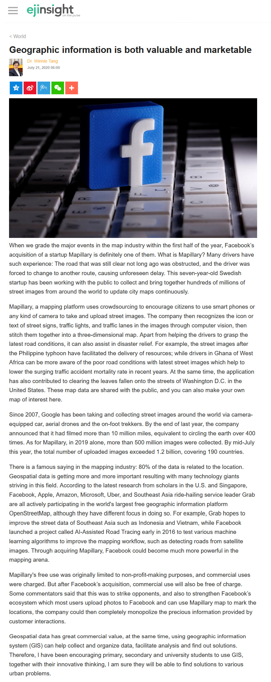
When we grade the major events in the map industry within the first half of the year, Facebook's acquisition of a startup Mapillary is definitely one of them. What is Mapillary? Many drivers have such experience: The road that was still clear not long ago was obstructed, and the driver was forced to change to another route, causing unforeseen delay. This seven-year-old Swedish startup has been working with the public to collect and bring together hundreds of millions of street images from around the world to update city maps continuously.
Mapillary, a mapping platform uses crowdsourcing to encourage citizens to use smart phones or any kind of camera to take and upload street images. The company then recognizes the icon or text of street signs, traffic lights, and traffic lanes in the images through computer vision, then stitch them together into a three-dimensional map. Apart from helping the drivers to grasp the latest road conditions, it can also assist in disaster relief. For example, the street images after the Philippine typhoon have facilitated the delivery of resources; while drivers in Ghana of West Africa can be more aware of the poor road conditions with latest street images which help to lower the surging traffic accident mortality rate in recent years. At the same time, the application has also contributed to clearing the leaves fallen onto the streets of Washington D.C. in the United States. These map data are shared with the public, and you can also make your own map of interest here.
Since 2007, Google has been taking and collecting street images around the world via camera-equipped car, aerial drones and the on-foot trekkers. By the end of last year, the company announced that it had filmed more than 10 million miles, equivalent to circling the earth over 400 times. As for Mapillary, in 2019 alone, more than 500 million images were collected. By mid-July this year, the total number of uploaded images exceeded 1.2 billion, covering 190 countries.
There is a famous saying in the mapping industry: 80% of the data is related to the location. Geospatial data is getting more and more important resulting with many technology giants striving in this field. According to the latest research from scholars in the U.S. and Singapore, Facebook, Apple, Amazon, Microsoft, Uber, and Southeast Asia ride-hailing service leader Grab are all actively participating in the world's largest free geographic information platform OpenStreetMap, although they have different focus in doing so. For example, Grab hopes to improve the street data of Southeast Asia such as Indonesia and Vietnam, while Facebook launched a project called AI-Assisted Road Tracing early in 2016 to test various machine learning algorithms to improve the mapping workflow, such as detecting roads from satellite images. Through acquiring Mapillary, Facebook could become much more powerful in the mapping arena.
Mapillary's free use was originally limited to non-profit-making purposes, and commercial uses were charged. But after Facebook's acquisition, commercial use will also be free of charge. Some commentators said that this was to strike opponents, and also to strengthen Facebook's ecosystem which most users upload photos to Facebook and can use Mapillary map to mark the locations, the company could then completely monopolize the precious information provided by customer interactions.
Geospatial data has great commercial value, at the same time, using geographic information system (GlS) can help collect and organize data, facilitate analysis and find out solutions. Therefore, I have been encouraging primary, secondary and university students to use GIS, together with their innovative thinking, I am sure they will be able to find solutions to various urban problems.
Dr. Winnie Tang
Adjunct Professor, Department of Computer Science, Faculty of Engineering; Department of Geography, Faculty of Social Sciences and Faculty of Architecture, The University of Hong Kong