網上版請按此

Get ready for the typhoon season
According to the World Meteorological Organization, 2019 was the second warmest year on record, with the five years from 2015 to 2019 being the five warmest since recording. The Hong Kong Observatory (HKO) also confirmed that May of 2020 was much hotter than usual. The monthly mean temperature of 27.7 degrees in May was 1.8 degrees above the normal figures. Moreover, the annual mean temperature this year is expected to be above normal, very likely to be among the top 10 warmest on record.
Under the effect of global warming, 300 million people's homes in the world would be lower than the highest sea level by 2050, as predicted by Climate Central, a U.S. non-profit climate science research institute whose estimates was based on the new digital image model of geographic information.
The study points out that Hong Kong, being among the coastal cities with design based on past historical high tide record, may also be flooded at high water levels. The affected areas cover Kam Tin, Hung Shui Kiu, Chek Lap Kok Airport, West Kowloon and Kai Tak. The neighboring areas, namely the Greater Bay Area cities, including Zhongshan, Foshan, Guangzhou, Dongguan, etc., will also be severely affected. These areas are marked in red on the maps in its website, indicating the danger of being submerged.
In addition to the threats of flooding, HKO also predicted that the typhoon season this year may start this month in Hong Kong.
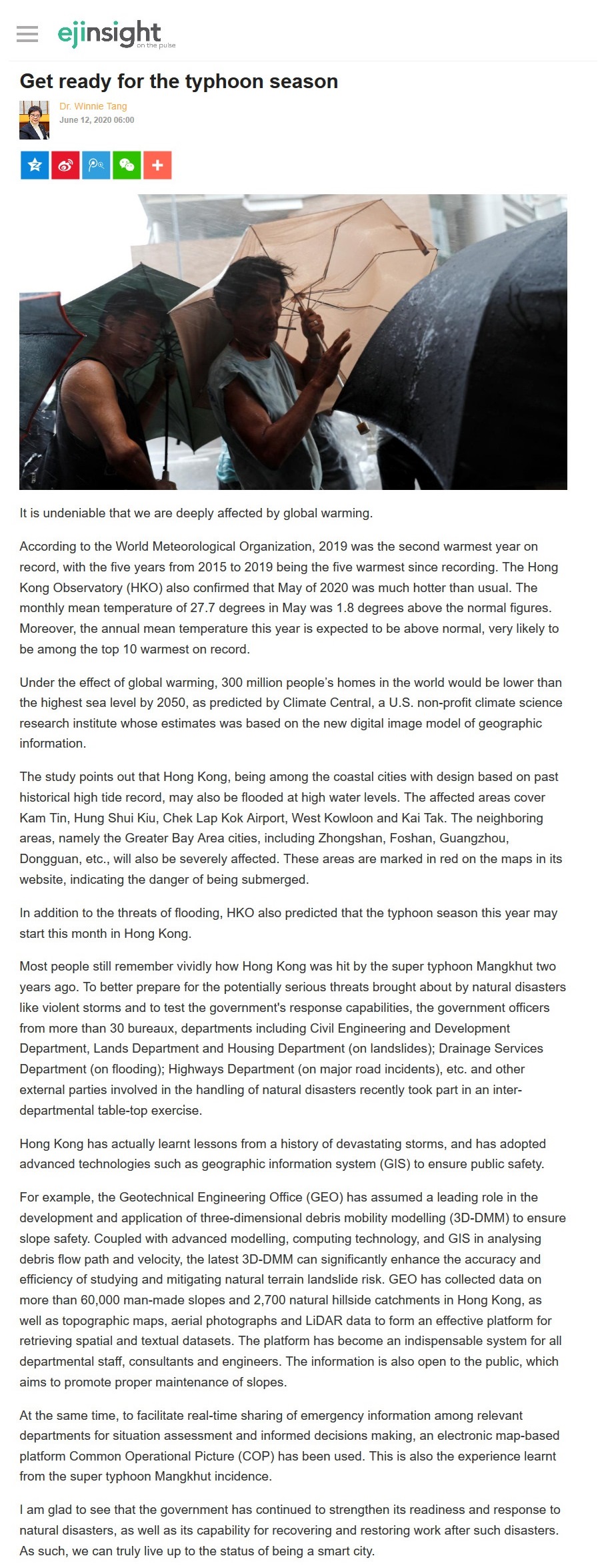
Most people still remember vividly how Hong Kong was hit by the super typhoon Mangkhut two years ago. To better prepare for the potentially serious threats brought about by natural disasters like violent storms and to test the government's response capabilities, the government officers from more than 30 bureaux, departments including Civil Engineering and Development Department, Lands Department and Housing Department (on landslides); Drainage Services Department (on flooding); Highways Department (on major road incidents), etc. and other external parties involved in the handling of natural disasters recently took part in an inter-departmental table-top exercise.
Hong Kong has actually learnt lessons from a history of devastating storms, and has adopted advanced technologies such as geographic information system (GIS) to ensure public safety.
For example, the Geotechnical Engineering Office (GEO) has assumed a leading role in the development and application of three-dimensional debris mobility modelling (3D-DMM) to ensure slope safety. Coupled with advanced modelling, computing technology, and GIS in analysing debris flow path and velocity, the latest 3D-DMM can significantly enhance the accuracy and efficiency of studying and mitigating natural terrain landslide risk. GEO has collected data on more than 60,000 man-made slopes and 2,700 natural hillside catchments in Hong Kong, as well as topographic maps, aerial photographs and LiDAR data to form an effective platform for retrieving spatial and textual datasets. The platform has become an indispensable system for all departmental staff, consultants and engineers. The information is also open to the public, which aims to promote proper maintenance of slopes.
At the same time, to facilitate real-time sharing of emergency information among relevant departments for situation assessment and informed decisions making, an electronic map-based platform Common Operational Picture (COP) has been used. This is also the experience learnt from the super typhoon Mangkhut incidence.
I am glad to see that the government has continued to strengthen its readiness and response to natural disasters, as well as its capability for recovering and restoring work after such disasters. As such, we can truly live up to the status of being a smart city.
Dr. Winnie Tang
Adjunct Professor, Department of Computer Science, Faculty of Engineering and Faculty of Architecture, The University of Hong Kong