網上版請按此
Geographic information system enhances young people's analytical capabilities
Teenagers are often criticized for a lack of understanding of the social issues and the real world. But equipping them with advanced digital tools can help them become competent in analyzing urban problems and even initiating practical solutions.
Three years ago, Hong Kong Education City (HKEdCity) collaborated with Esri China (Hong Kong) to offer the professional geographic information system (GlS) software to primary and secondary school students in Hong Kong free of charge, with a hope that the software can enhance young people's problem-solving abilities. Today, nearly 200 schools and over 1,000 teachers and students have attended relevant training. This software helps students use the spatial data to link information via electronic maps. The possible causes of the problem are presented clearly in layers, making it easier to figure out not only the most probable causes but also its possible solutions.
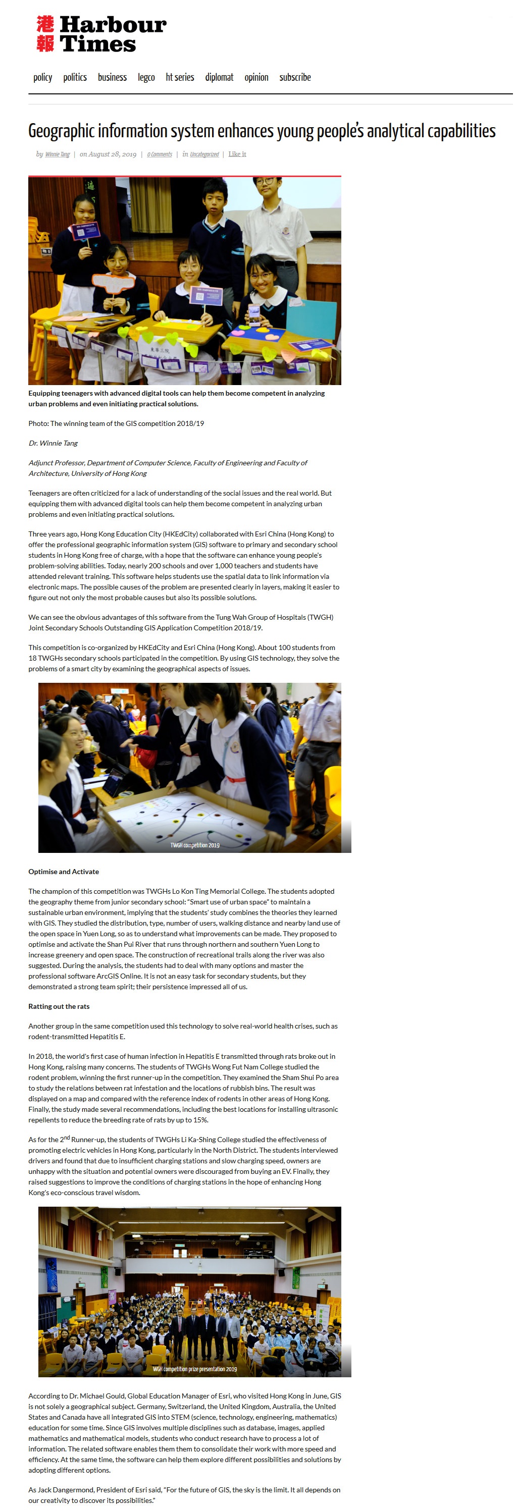
We can see the obvious advantages of this software from the Tung Wah Group of Hospitals (TWGH) Joint Secondary Schools Outstanding GIS Application Competition 2018/19.
This competition is co-organized by HKEdCity and Esri China (Hong Kong). About 100 students from 18 TWGHs secondary schools participated in the competition. By using GIS technology, they solve the problems of a smart city by examining the geographical aspects of issues.
Optimise and Activate
The champion of this competition was TWGHs Lo Kon Ting Memorial College. The students adopted the geography theme from junior secondary school: "Smart use of urban space" to maintain a sustainable urban environment, implying that the students' study combines the theories they learned with GIS. They studied the distribution, type, number of users, walking distance and nearby land use of the open space in Yuen Long, so as to understand what improvements can be made. They proposed to optimise and activate the Shan Pui River that runs through northern and southern Yuen Long to increase greenery and open space. The construction of recreational trails along the river was also suggested. During the analysis, the students had to deal with many options and master the professional software ArcGIS Online. It is not an easy task for secondary students, but they demonstrated a strong team spirit; their persistence impressed all of us.
Ratting out the rats
Another group in the same competition used this technology to solve real-world health crises, such as rodent-transmitted Hepatitis E.
In 2018, the world's first case of human infection in Hepatitis E transmitted through rats broke out in Hong Kong, raising many concerns. The students of TWGHs Wong Fut Nam College studied the rodent problem, winning the first runner-up in the competition. They examined the Sham Shui Po area to study the relations between rat infestation and the locations of rubbish bins. The result was displayed on a map and compared with the reference index of rodents in other areas of Hong Kong. Finally, the study made several recommendations, including the best locations for installing ultrasonic repellents to reduce the breeding rate of rats by up to 15%.
As for the 2nd Runner-up, the students of TWGHs Li Ka-Shing College studied the effectiveness of promoting electric vehicles in Hong Kong, particularly in the North District. The students interviewed drivers and found that due to insufficient charging stations and slow charging speed, owners are unhappy with the situation and potential owners were discouraged from buying an EV. Finally, they raised suggestions to improve the conditions of charging stations in the hope of enhancing Hong Kong's eco-conscious travel wisdom.
According to Dr. Michael Gould, Global Education Manager of Esri, who visited Hong Kong in June, GIS is not solely a geographical subject. Germany, Switzerland, the United Kingdom, Australia, the United States and Canada have all integrated GIS into STEM (science, technology, engineering, mathematics) education for some time. Since GIS involves multiple disciplines such as database, images, applied mathematics and mathematical models, students who conduct research have to process a lot of information. The related software enables them them to consolidate their work with more speed and efficiency. At the same time, the software can help them explore different possibilities and solutions by adopting different options.
As Jack Dangermond, President of Esri said, "For the future of GIS, the sky is the limit. It all depends on our creativity to discover its possibilities."
Dr. Winnie Tang
Adjunct Professor, Department of Computer Science, Faculty of Engineering and Faculty of Architecture, The University of Hong Kong