網上版請按此
Data-driven discussion, bottom-up approach key to smart city
Urban planning has become a public concern. "Brownfield sites" and "big debate on land supply" have become common terms in the news in Hong Kong. Engaging in a public discussion that could lead to consensus on the way forward shows the maturity of a city. To make the discussions more rational and effective, data analysis is a must.
Given this reality, the Esri Young Scholars Award encourages university students to solve problems using geographic information system (GIS) software. This year sees the seventh edition of the competition. Champions from different places were invited to attend a week-long Esri user conference in the United States in July, to exchange ideas with more than 18,000 GIS professionals all over the world.
The subjects of this year's winning entries are as diversified as in the past few years. For example, a university student from the Netherlands studied coral bleaching at Australia's Great Barrier Reef; while a university student from South Africa evaluated the effectiveness of the university's use of animated 3D spatial images to teach the El Niño phenomenon. Another student, from New Zealand, studied whether there is a correlation between life expectancy and living near a public transport hub.
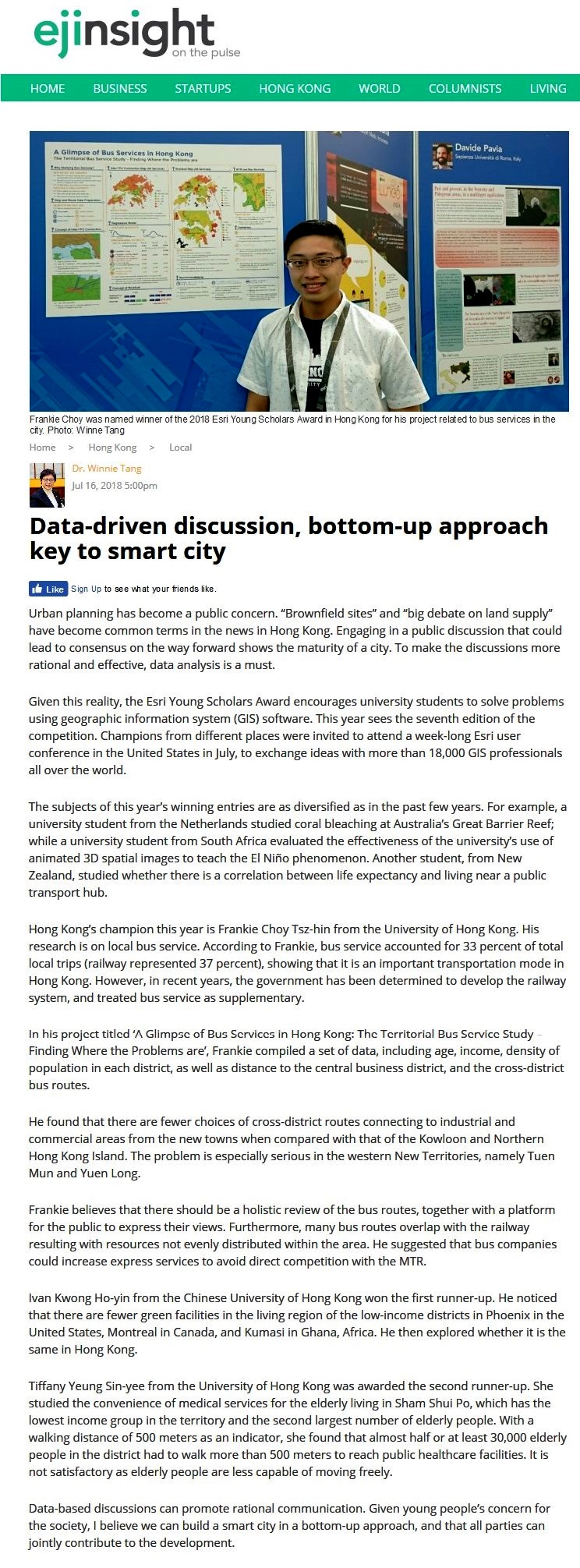
Hong Kong's champion this year is Frankie Choy Tsz-hin from the University of Hong Kong. His research is on local bus service. According to Frankie, bus service accounted for 33 percent of total local trips (railway represented 37 percent), showing that it is an important transportation mode in Hong Kong. However, in recent years, the government has been determined to develop the railway system, and treated bus service as supplementary.
In his project titled 'A Glimpse of Bus Services in Hong Kong: The Territorial Bus Service Study – Finding Where the Problems are', Frankie compiled a set of data, including age, income, density of population in each district, as well as distance to the central business district, and the cross-district bus routes.
He found that there are fewer choices of cross-district routes connecting to industrial and commercial areas from the new towns when compared with that of the Kowloon and Northern Hong Kong Island. The problem is especially serious in the western New Territories, namely Tuen Mun and Yuen Long.
Frankie believes that there should be a holistic review of the bus routes, together with a platform for the public to express their views. Furthermore, many bus routes overlap with the railway resulting with resources not evenly distributed within the area. He suggested that bus companies could increase express services to avoid direct competition with the MTR.
Ivan Kwong Ho-yin from the Chinese University of Hong Kong won the first runner-up. He noticed that there are fewer green facilities in the living region of the low-income districts in Phoenix in the United States, Montreal in Canada, and Kumasi in Ghana, Africa. He then explored whether it is the same in Hong Kong.
Tiffany Yeung Sin-yee from the University of Hong Kong was awarded the second runner-up. She studied the convenience of medical services for the elderly living in Sham Shui Po, which has the lowest income group in the territory and the second largest number of elderly people. With a walking distance of 500 meters as an indicator, she found that almost half or at least 30,000 elderly people in the district had to walk more than 500 meters to reach public healthcare facilities. It is not satisfactory as elderly people are less capable of moving freely.
Data-based discussions can promote rational communication. Given young people's concern for the society, I believe we can build a smart city in a bottom-up approach, and that all parties can jointly contribute to the development.
Dr. Winnie Tang
Honorary Professor, Department of Computer Science, The University of Hong Kong