網上版請按此
Startup ideas that make life easier or more fun
Established in the United States for over 50 years, Esri is one of the 50 largest software companies in the world. Its renowned Esri Startup Program ("Esri Program") supports startups with core business in geospatial information. In fact, the companies having participated in the Esri Program address a broad spectrum of industries such as ride-sharing, public safety, city management, utilities, natural resources, health, commercial sectors and more.
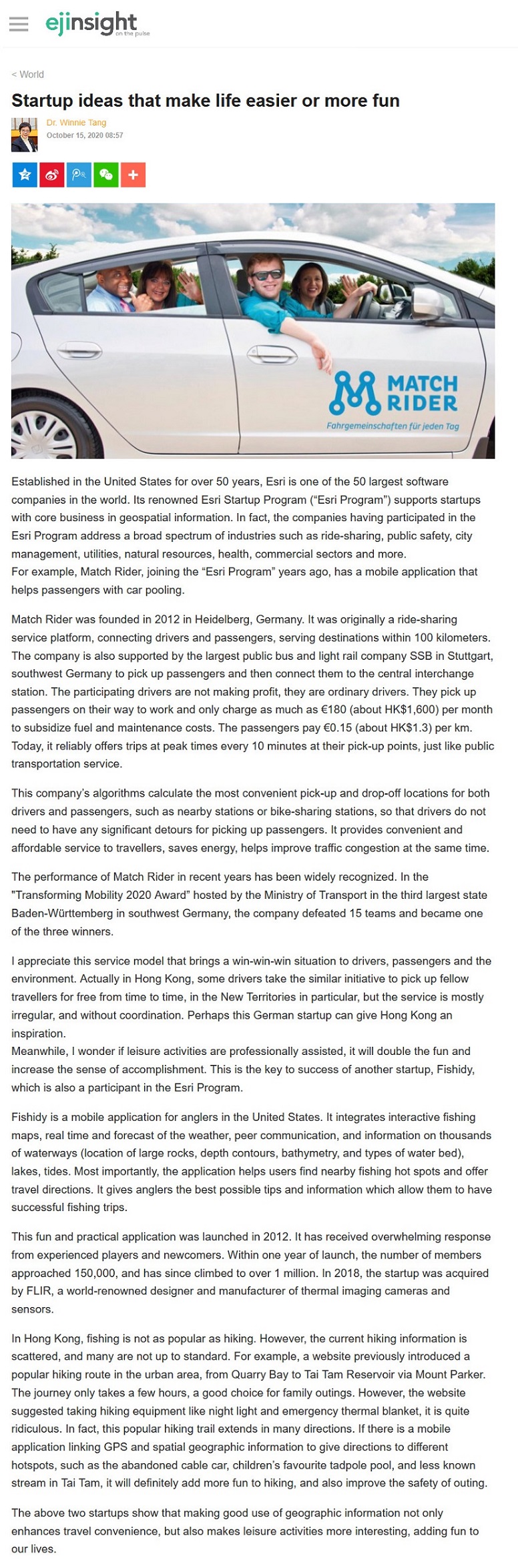
For example, Match Rider, joining the "Esri Program" years ago, has a mobile application that helps passengers with car pooling.
Match Rider was founded in 2012 in Heidelberg, Germany. It was originally a ride-sharing service platform, connecting drivers and passengers, serving destinations within 100 kilometers. The company is also supported by the largest public bus and light rail company SSB in Stuttgart, southwest Germany to pick up passengers and then connect them to the central interchange station. The participating drivers are not making profit, they are ordinary drivers. They pick up passengers on their way to work and only charge as much as €180 (about HK$1,600) per month to subsidize fuel and maintenance costs. The passengers pay €0.15 (about HK$1.3) per km. Today, it reliably offers trips at peak times every 10 minutes at their pick-up points, just like public transportation service.
This company's algorithms calculate the most convenient pick-up and drop-off locations for both drivers and passengers, such as nearby stations or bike-sharing stations, so that drivers do not need to have any significant detours for picking up passengers. It provides convenient and affordable service to travellers, saves energy, helps improve traffic congestion at the same time.
The performance of Match Rider in recent years has been widely recognized. In the "Transforming Mobility 2020 Award" hosted by the Ministry of Transport in the third largest state Baden-Württemberg in southwest Germany, the company defeated 15 teams and became one of the three winners.
I appreciate this service model that brings a win-win-win situation to drivers, passengers and the environment. Actually in Hong Kong, some drivers take the similar initiative to pick up fellow travellers for free from time to time, in the New Territories in particular, but the service is mostly irregular, and without coordination. Perhaps this German startup can give Hong Kong an inspiration.
Meanwhile, I wonder if leisure activities are professionally assisted, it will double the fun and increase the sense of accomplishment. This is the key to success of another startup, Fishidy, which is also a participant in the Esri Program.
Fishidy is a mobile application for anglers in the United States. It integrates interactive fishing maps, real time and forecast of the weather, peer communication, and information on thousands of waterways (location of large rocks, depth contours, bathymetry, and types of water bed), lakes, tides. Most importantly, the application helps users find nearby fishing hot spots and offer travel directions. It gives anglers the best possible tips and information which allow them to have successful fishing trips.
This fun and practical application was launched in 2012. It has received overwhelming response from experienced players and newcomers. Within one year of launch, the number of members approached 150,000, and has since climbed to over 1 million. In 2018, the startup was acquired by FLIR, a world-renowned designer and manufacturer of thermal imaging cameras and sensors.
In Hong Kong, fishing is not as popular as hiking. However, the current hiking information is scattered, and many are not up to standard. For example, a website previously introduced a popular hiking route in the urban area, from Quarry Bay to Tai Tam Reservoir via Mount Parker. The journey only takes a few hours, a good choice for family outings. However, the website suggested taking hiking equipment like night light and emergency thermal blanket, it is quite ridiculous. In fact, this popular hiking trail extends in many directions. If there is a mobile application linking GPS and spatial geographic information to give directions to different hotspots, such as the abandoned cable car, children's favourite tadpole pool, and less known stream in Tai Tam, it will definitely add more fun to hiking, and also improve the safety of outing.
The above two startups show that making good use of geographic information not only enhances travel convenience, but also makes leisure activities more interesting, adding fun to our lives.
Dr. Winnie Tang
Adjunct Professor, Department of Geography, Faculty of Social Sciences and Faculty of Architecture, The University of Hong Kong