網上版請按此
How geographic information supports Mars landing missions
Where will you be in 10 years time? Hong Kong? London? The Greater Bay Area? Or Mars? Although Mars seems so far away from us, SpaceX founder Elon Musk said that his starships would be landing on Mars well before 2030. In July last year, China, and the United Arab Emirates started their journey to Mars with the United States continuing their previous exploration. Recently, China's Tianwen-1 announced a successful landing. Behind the landmark project is a group of Hong Kong scientists.
One of the purposes of exploring Mars is to understand the origin and evolution of life, while Mars may also be the future home of mankind. However, the current success rate of Mars exploration missions is only around 50%, the main challenge is the entry / descent / landing (EDL) process, according to the China Academy of Space Technology. To ensure a smooth landing, the scientists need to conduct detailed surveys on the berthing orbits and landing area to obtain sufficient data on the topography and assess the probability of sandstorms there.
Geographic information system (GIS) which is good at collecting, organising and analysing data, plays an important role in these surveys.
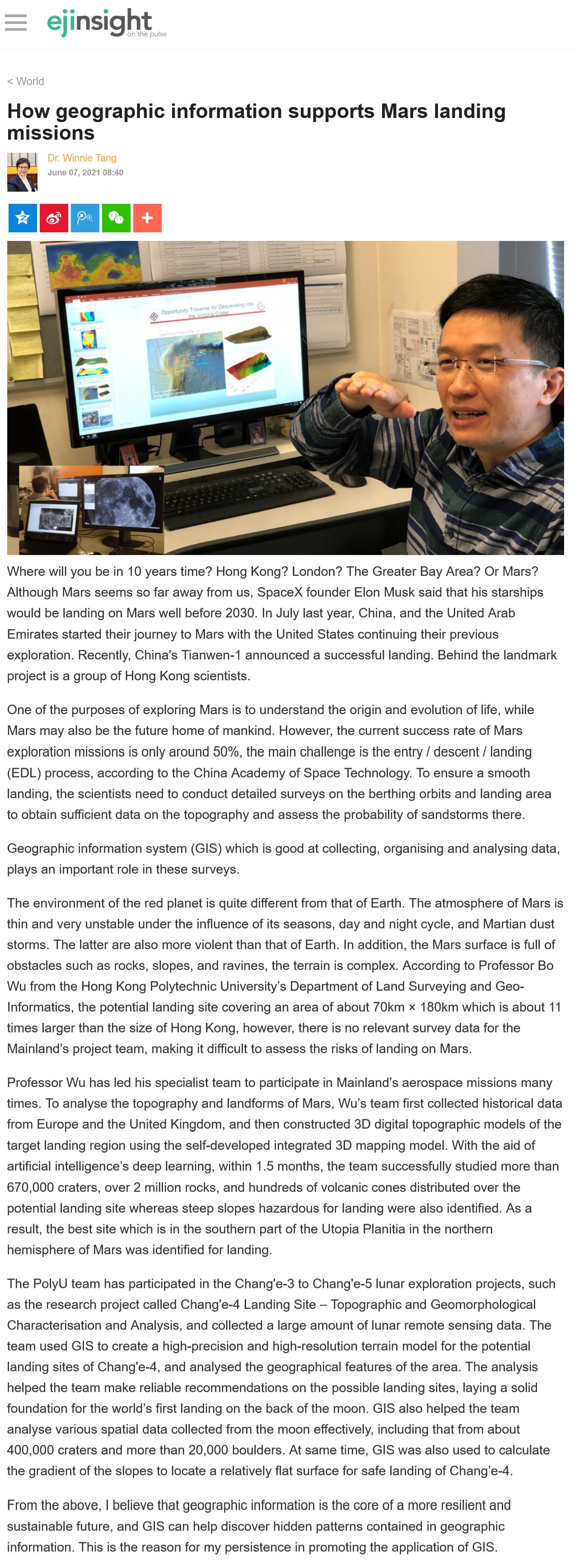
The environment of the red planet is quite different from that of Earth. The atmosphere of Mars is thin and very unstable under the influence of its seasons, day and night cycle, and Martian dust storms. The latter are also more violent than that of Earth. In addition, the Mars surface is full of obstacles such as rocks, slopes, and ravines, the terrain is complex. According to Professor Bo Wu from the Hong Kong Polytechnic University's Department of Land Surveying and Geo-Informatics, the potential landing site covering an area of about 70km × 180km which is about 11 times larger than the size of Hong Kong, however, there is no relevant survey data for the Mainland's project team, making it difficult to assess the risks of landing on Mars.
Professor Wu has led his specialist team to participate in Mainland's aerospace missions many times. To analyse the topography and landforms of Mars, Wu's team first collected historical data from Europe and the United Kingdom, and then constructed 3D digital topographic models of the target landing region using the self-developed integrated 3D mapping model. With the aid of artificial intelligence's deep learning, within 1.5 months, the team successfully studied more than 670,000 craters, over 2 million rocks, and hundreds of volcanic cones distributed over the potential landing site whereas steep slopes hazardous for landing were also identified. As a result, the best site which is in the southern part of the Utopia Planitia in the northern hemisphere of Mars was identified for landing.
The PolyU team has participated in the Chang'e-3 to Chang'e-5 lunar exploration projects, such as the research project called Chang'e-4 Landing Site – Topographic and Geomorphological Characterisation and Analysis, and collected a large amount of lunar remote sensing data. The team used GIS to create a high-precision and high-resolution terrain model for the potential landing sites of Chang'e-4, and analysed the geographical features of the area. The analysis helped the team make reliable recommendations on the possible landing sites, laying a solid foundation for the world’s first landing on the back of the moon. GIS also helped the team analyse various spatial data collected from the moon effectively, including that from about 400,000 craters and more than 20,000 boulders. At same time, GIS was also used to calculate the gradient of the slopes to locate a relatively flat surface for safe landing of Chang’e-4.
From the above, I believe that geographic information is the core of a more resilient and sustainable future, and GIS can help discover hidden patterns contained in geographic information. This is the reason for my persistence in promoting the application of GIS.
Dr. Winnie Tang
Adjunct Professor, Department of Computer Science, Faculty of Engineering; Department of Geography, Faculty of Social Sciences; and Faculty of Architecture, The University of Hong Kong