網上版請按此

GIS enables the public to appreciate advanced technology
Geographic information system (GIS) is often used in the area of transportation, urban planning, environmental protection law enforcement, natural disaster relief, and more. However, in addition to the affairs on earth, it has actually been applied in exploring outer space.
China is a rising star in aerospace missions and has made rapid progress in recent years. The United States, on the other hand, has longer experience in exploring Mars with the National Aeronautics and Space Administration (NASA) having started the Mars exploration project 20 years ago. A satellite 2001 Mars Odyssey was sent to collect a large amount of data, including Mars landform and surface mineral data for study to determine if there were signs of life. In February this year, NASA's Perseverance rover arrived on Mars for planetary exploration.
However, Mars' surface is full of scattered jagged rocks and boulders which add much difficulties to Perseverance's mission, therefore careful planning is essential. For this purpose, NASA and its Mars Science Laboratory (MSL) used GIS software to combine images from three remote sensing satellites that have orbited the red planet for many years to improve their understanding of Mars' diverse terrain and complicated geography. The first task was to survey a potential landing ellipse, which could be very broad, like the one for Phoenix Mars rover in 2008 measuring about 100km x 19km. Through GIS, the team constructed a map covering 85% of the landing ellipse which is sufficient to support smooth entry, descent and landing.
At the same time, judging from the channels and canyons on Mars, it had a lot of liquid water flow a long time ago. MSL had to study the chronology, geophysical processes, and whether life existed on Mars in more detail. Therefore, in addition to landing in a geologically rich area and relatively flat terrain, MSL also had to make sure the rover can navigate with minimal obstacles. Further, scientists made use of computer programs such as a GIS software ArcGIS to study the mineral compositions of rocks, the presence of water, and temperature differences to find potential organisms on Mars.
At the end of May, thousands of Hong Kong citizens gathered around the waterfront to watch the full lunar eclipse. It shows the public's interest in astronomy. Now, people who want to explore the red planet can also interact with a 3D map of Mars online at https://explore-mars.esri.com/. You can measure different terrains such as the size and altitude of a crater, or feature a place on earth, such as China and place it on the 3D map of Mars to see it at appropriate scale. You may be surprised by the small size of Mars as compared with the Earth.
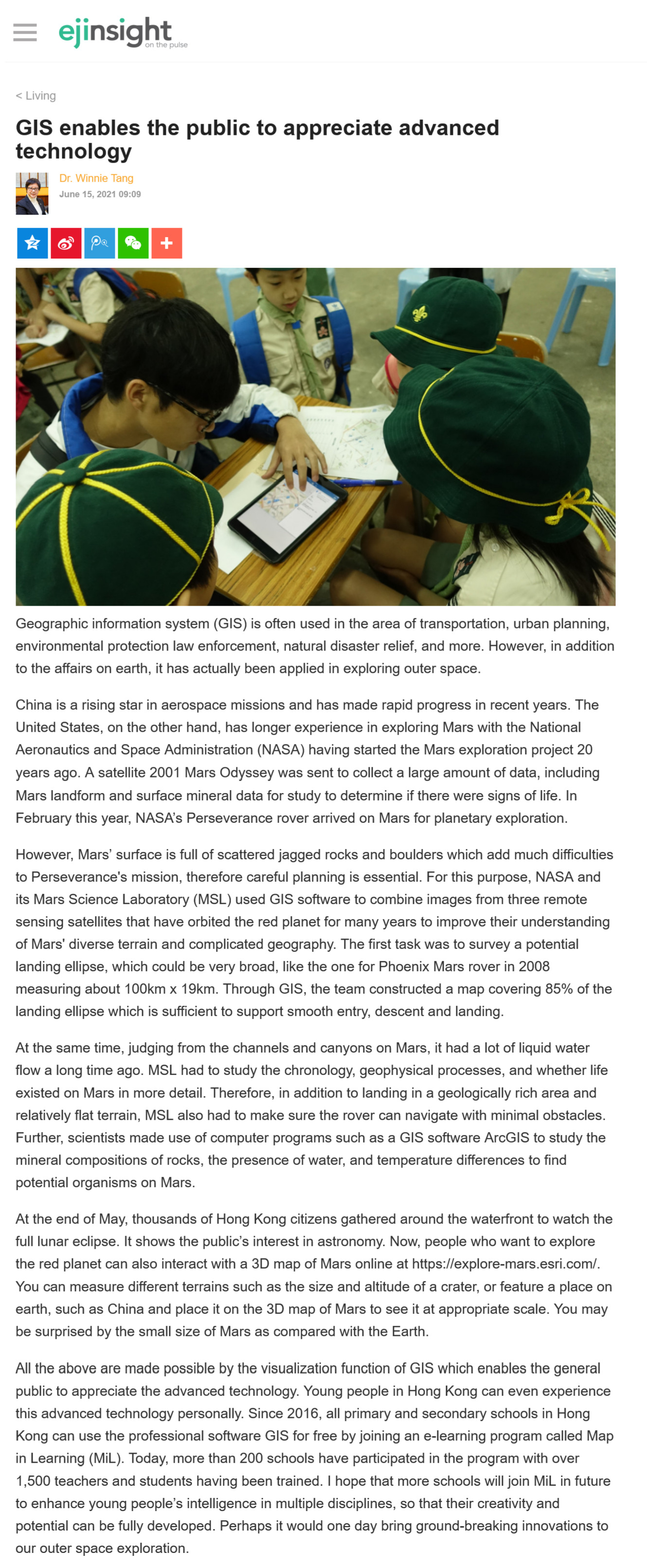
All the above are made possible by the visualization function of GIS which enables the general public to appreciate the advanced technology. Young people in Hong Kong can even experience this advanced technology personally. Since 2016, all primary and secondary schools in Hong Kong can use the professional software GIS for free by joining an e-learning program called Map in Learning (MiL). Today, more than 200 schools have participated in the program with over 1,500 teachers and students having been trained. I hope that more schools will join MiL in future to enhance young people's intelligence in multiple disciplines, so that their creativity and potential can be fully developed. Perhaps it would one day bring ground-breaking innovations to our outer space exploration.
Dr. Winnie Tang
Adjunct Professor, Department of Computer Science, Faculty of Engineering; Department of Geography, Faculty of Social Sciences; and Faculty of Architecture, The University of Hong Kong