網上版請按此

HK population census witnesses technological progress
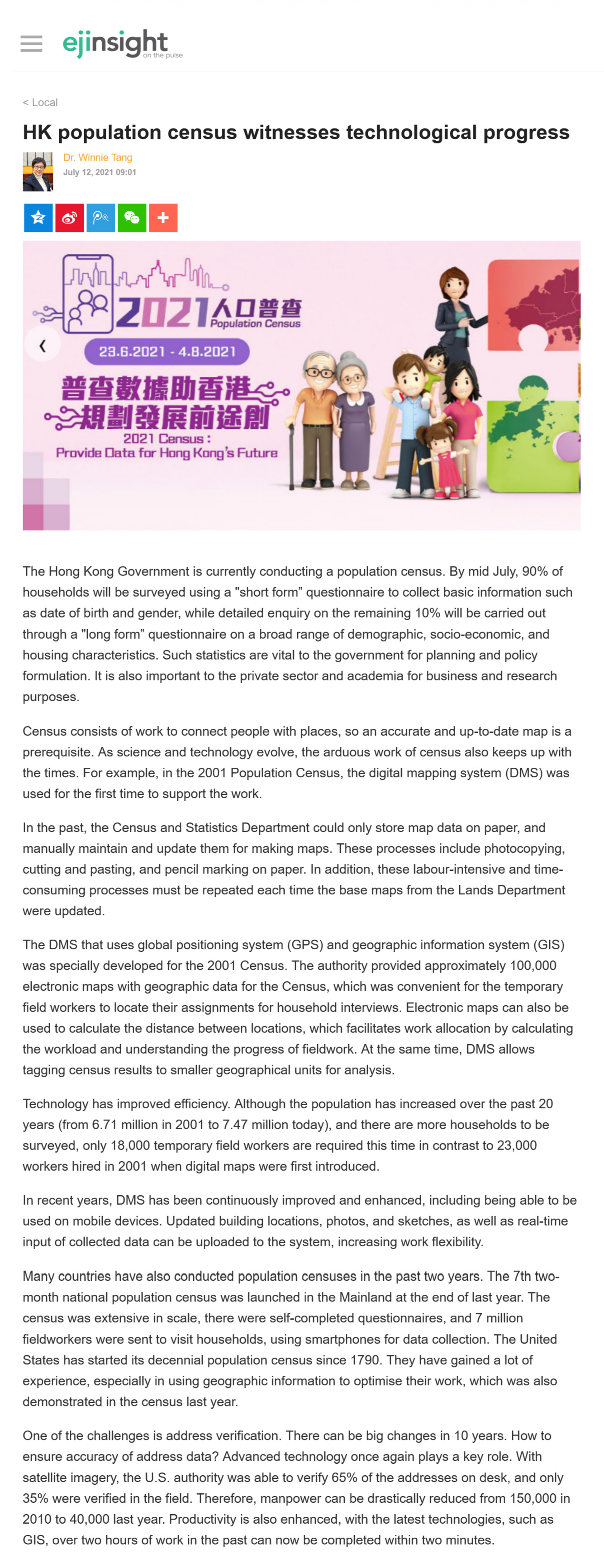
The Hong Kong Government is currently conducting a population census. By mid July, 90% of households will be surveyed using a "short form" questionnaire to collect basic information such as date of birth and gender, while detailed enquiry on the remaining 10% will be carried out through a "long form" questionnaire on a broad range of demographic, socio-economic, and housing characteristics. Such statistics are vital to the government for planning and policy formulation. It is also important to the private sector and academia for business and research purposes.
Census consists of work to connect people with places, so an accurate and up-to-date map is a prerequisite. As science and technology evolve, the arduous work of census also keeps up with the times. For example, in the 2001 Population Census, the digital mapping system (DMS) was used for the first time to support the work.
In the past, the Census and Statistics Department could only store map data on paper, and manually maintain and update them for making maps. These processes include photocopying, cutting and pasting, and pencil marking on paper. In addition, these labour-intensive and time-consuming processes must be repeated each time the base maps from the Lands Department were updated.
The DMS that uses global positioning system (GPS) and geographic information system (GIS) was specially developed for the 2001 Census. The authority provided approximately 100,000 electronic maps with geographic data for the Census, which was convenient for the temporary field workers to locate their assignments for household interviews. Electronic maps can also be used to calculate the distance between locations, which facilitates work allocation by calculating the workload and understanding the progress of fieldwork. At the same time, DMS allows tagging census results to smaller geographical units for analysis.
Technology has improved efficiency. Although the population has increased over the past 20 years (from 6.71 million in 2001 to 7.47 million today), and there are more households to be surveyed, only 18,000 temporary field workers are required this time in contrast to 23,000 workers hired in 2001 when digital maps were first introduced.
In recent years, DMS has been continuously improved and enhanced, including being able to be used on mobile devices. Updated building locations, photos, and sketches, as well as real-time input of collected data can be uploaded to the system, increasing work flexibility.
Many countries have also conducted population censuses in the past two years. The 7th two-month national population census was launched in the Mainland at the end of last year. The census was extensive in scale, there were self-completed questionnaires, and 7 million fieldworkers were sent to visit households, using smartphones for data collection. The United States has started its decennial population census since 1790. They have gained a lot of experience, especially in using geographic information to optimise their work, which was also demonstrated in the census last year.
One of the challenges is address verification. There can be big changes in 10 years. How to ensure accuracy of address data? Advanced technology once again plays a key role. With satellite imagery, the U.S. authority was able to verify 65% of the addresses on desk, and only 35% were verified in the field. Therefore, manpower can be drastically reduced from 150,000 in 2010 to 40,000 last year. Productivity is also enhanced, with the latest technologies, such as GIS, over two hours of work in the past can now be completed within two minutes.
Dr. Winnie Tang
Adjunct Professor, Department of Computer Science, Faculty of Engineering; Department of Geography, Faculty of Social Sciences; and Faculty of Architecture, The University of Hong Kong