網上版請按此

Combining drones, geographic information to improve efficiency
Three-dimensional (3D) maps are good at visualising such as hiking trails, making outing information vivid. Behind the scene is the geographic information system (GIS) which seamlessly connects various data.
In fact, with the popularity of drones in recent years and the improvement of image resolution, more and more organisations have added aerial images to 3D maps, and integrated different data riding on the strengths of GIS to perform cumbersome tasks that would otherwise be labour and time intensive. These tasks include: regular inspections of infrastructure to determine the need for maintenance, coordinate disaster relief during wildfires, monitor garbage collection to ensure the standards are met, reclamation projects and environmental conservation.
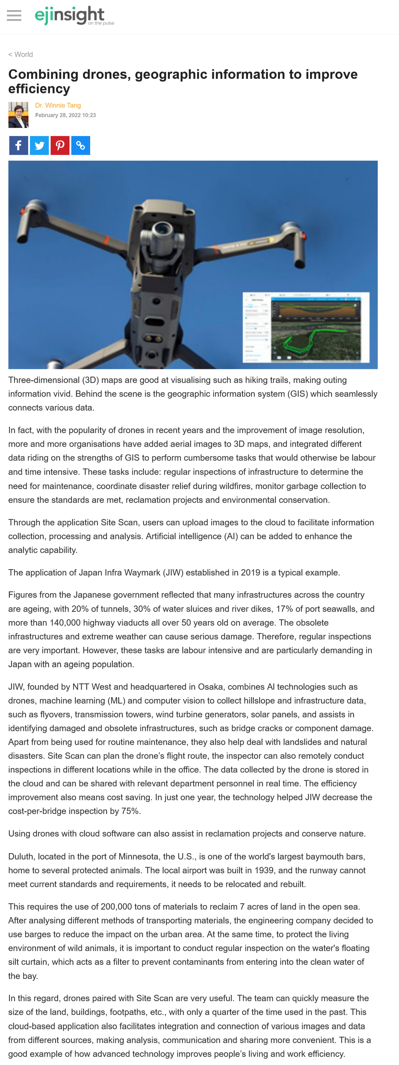
Through the application Site Scan, users can upload images to the cloud to facilitate information collection, processing and analysis. Artificial intelligence (AI) can be added to enhance the analytic capability.
The application of Japan Infra Waymark (JIW) established in 2019 is a typical example.
Figures from the Japanese government reflected that many infrastructures across the country are ageing, with 20% of tunnels, 30% of water sluices and river dikes, 17% of port seawalls, and more than 140,000 highway viaducts all over 50 years old on average. The obsolete infrastructures and extreme weather can cause serious damage. Therefore, regular inspections are very important. However, these tasks are labour intensive and are particularly demanding in Japan with an ageing population.
JIW, founded by NTT West and headquartered in Osaka, combines Al technologies such as drones, machine learning (ML) and computer vision to collect hillslope and infrastructure data, such as flyovers, transmission towers, wind turbine generators, solar panels, and assists in identifying damaged and obsolete infrastructures, such as bridge cracks or component damage. Apart from being used for routine maintenance, they also help deal with landslides and natural disasters. Site Scan can plan the drone's flight route, the inspector can also remotely conduct inspections in different locations while in the office. The data collected by the drone is stored in the cloud and can be shared with relevant department personnel in real time. The efficiency improvement also means cost saving. In just one year, the technology helped JIW decrease the cost-per-bridge inspection by 75%.
Using drones with cloud software can also assist in reclamation projects and conserve nature.
Duluth, located in the port of Minnesota, the U.S., is one of the world's largest baymouth bars, home to several protected animals. The local airport was built in 1939, and the runway cannot meet current standards and requirements, it needs to be relocated and rebuilt.
This requires the use of 200,000 tons of materials to reclaim 7 acres of land in the open sea. After analysing different methods of transporting materials, the engineering company decided to use barges to reduce the impact on the urban area. At the same time, to protect the living environment of wild animals, it is important to conduct regular inspection on the water's floating silt curtain, which acts as a filter to prevent contaminants from entering into the clean water of the bay.
In this regard, drones paired with Site Scan are very useful. The team can quickly measure the size of the land, buildings, footpaths, etc., with only a quarter of the time used in the past. This cloud-based application also facilitates integration and connection of various images and data from different sources, making analysis, communication and sharing more convenient. This is a good example of how advanced technology improves people's living and work efficiency.
Dr. Winnie Tang
Adjunct Professor, Department of Computer Science, Faculty of Engineering; Department of Geography, Faculty of Social Sciences; and Faculty of Architecture, The University of Hong Kong