網上版請按此

Advanced technology perfects smart city design
In his speech titled "Smart Technology and Smart City" in the 2022 Science and Technology Lecture Hall, the Chinese Academy of Sciences academician Prof. Anthony G.O. Yeh introduced smart city and future urban transportation services to participants. During the event, a student asked about the technical design of smart cities, in which Prof. Yeh mentioned that all designs had deviations, such as the global positioning system (GPS).
The accuracy of GPS is estimated to be 5 meters. Meanwhile, the low Earth orbit (LEO) satellite can provide a much detailed image with higher accuracy. As a result, users can have more accurate data with LEO satellites.
The issues of GPS are that it is easy to jam and very expensive for both operation and maintenance, according to the GPS Lab of Stanford University, the United States. They have noticed the emergence of LEO satellites in recent years. Thousands of satellites are cheaper than GPS, as they are closer to Earth, the quality of images is better and communication is smoother.
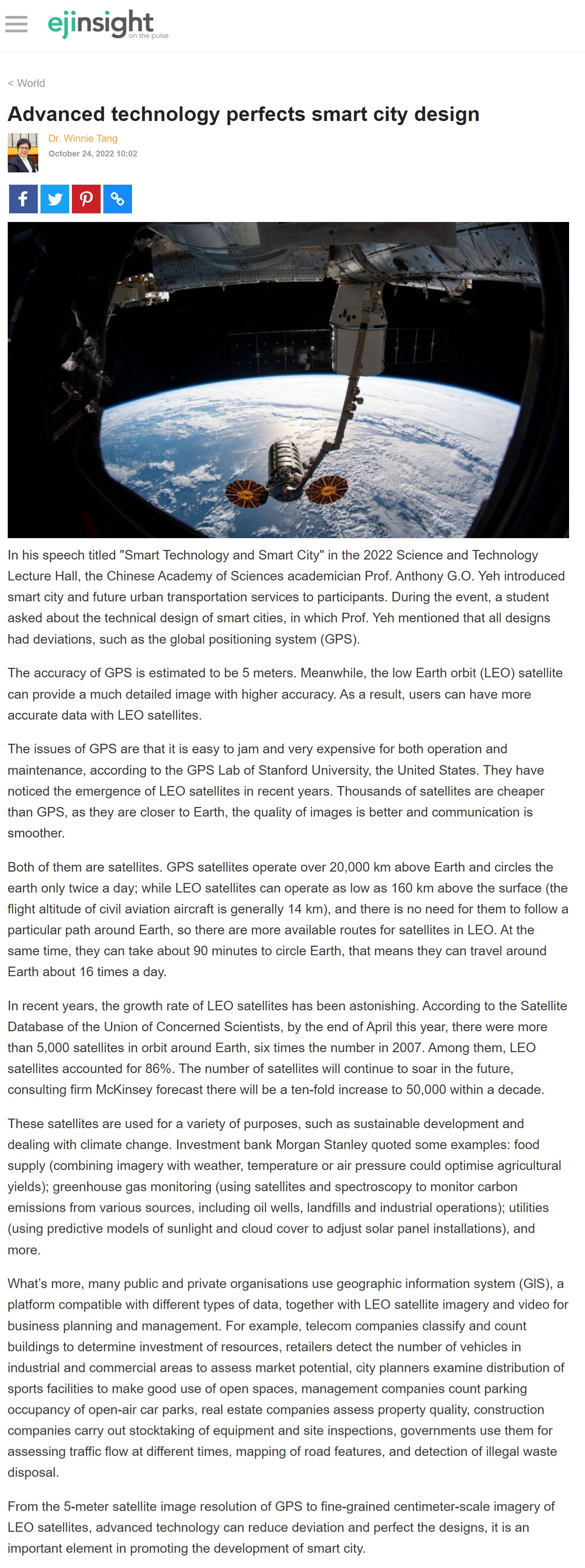
Both of them are satellites. GPS satellites operate over 20,000 km above Earth and circles the earth only twice a day; while LEO satellites can operate as low as 160 km above the surface (the flight altitude of civil aviation aircraft is generally 14 km), and there is no need for them to follow a particular path around Earth, so there are more available routes for satellites in LEO. At the same time, they can take about 90 minutes to circle Earth, that means they can travel around Earth about 16 times a day.
In recent years, the growth rate of LEO satellites has been astonishing. According to the Satellite Database of the Union of Concerned Scientists, by the end of April this year, there were more than 5,000 satellites in orbit around Earth, six times the number in 2007. Among them, LEO satellites accounted for 86%. The number of satellites will continue to soar in the future, consulting firm McKinsey forecast there will be a ten-fold increase to 50,000 within a decade.
These satellites are used for a variety of purposes, such as sustainable development and dealing with climate change. Investment bank Morgan Stanley quoted some examples: food supply (combining imagery with weather, temperature or air pressure could optimise agricultural yields); greenhouse gas monitoring (using satellites and spectroscopy to monitor carbon emissions from various sources, including oil wells, landfills and industrial operations); utilities (using predictive models of sunlight and cloud cover to adjust solar panel installations), and more.
What's more, many public and private organisations use geographic information system (GlS), a platform compatible with different types of data, together with LEO satellite imagery and video for business planning and management. For example, telecom companies classify and count buildings to determine investment of resources, retailers detect the number of vehicles in industrial and commercial areas to assess market potential, city planners examine distribution of sports facilities to make good use of open spaces, management companies count parking occupancy of open-air car parks, real estate companies assess property quality, construction companies carry out stocktaking of equipment and site inspections, governments use them for assessing traffic flow at different times, mapping of road features, and detection of illegal waste disposal.
From the 5-meter satellite image resolution of GPS to fine-grained centimeter-scale imagery of LEO satellites, advanced technology can reduce deviation and perfect the designs, it is an important element in promoting the development of smart city.
Dr. Winnie Tang
Adjunct Professor, Department of Computer Science, Faculty of Engineering; Department of Geography, Faculty of Social Sciences; and Faculty of Architecture, The University of Hong Kong