網上版請按此
Smart city starts with smart planning
Smart city starts with smart planning, and geographic information system or GIS is the foundation technology for smart city development. It empowers town planners to determine how, where, and when their designs can have the greatest impact to improve the quality of life.
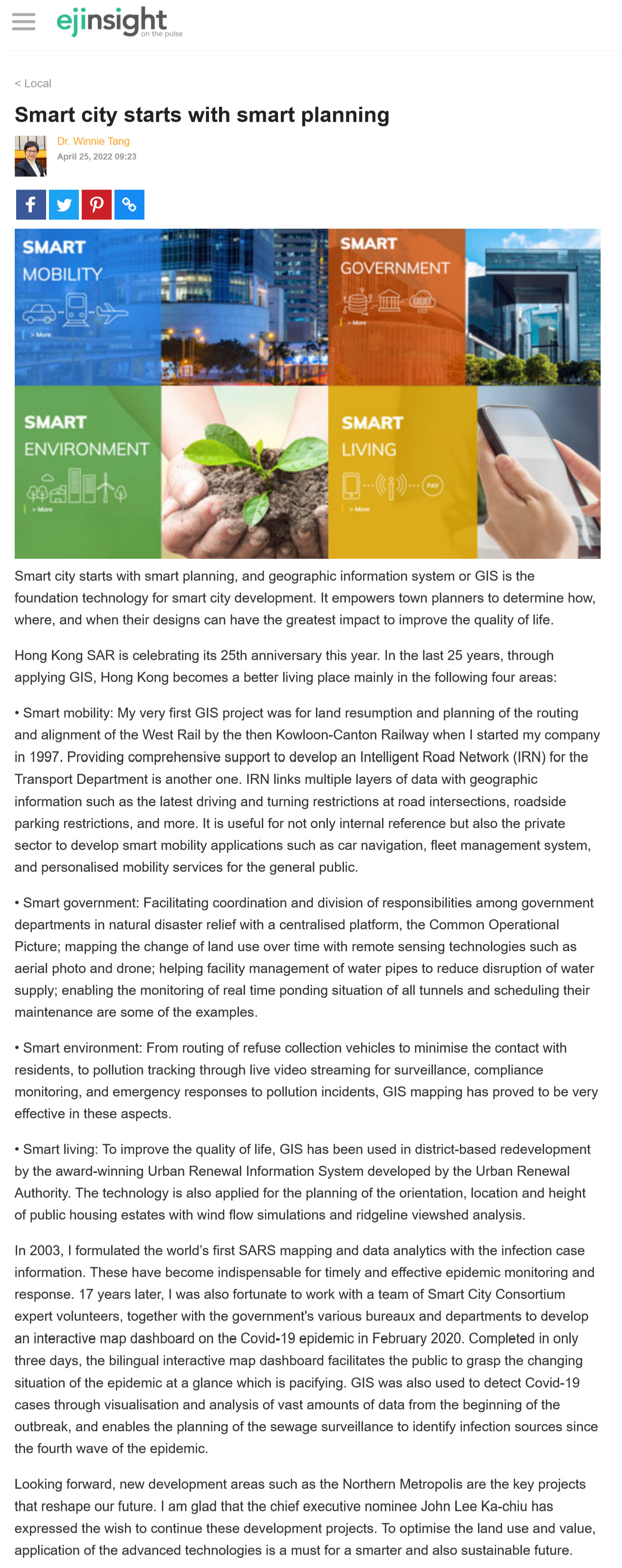
Hong Kong SAR is celebrating its 25th anniversary this year. In the last 25 years, through applying GIS, Hong Kong becomes a better living place mainly in the following four areas:
• Smart mobility: My very first GIS project was for land resumption and planning of the routing and alignment of the West Rail by the then Kowloon-Canton Railway when I started my company in 1997. Providing comprehensive support to develop an Intelligent Road Network (IRN) for the Transport Department is another one. IRN links multiple layers of data with geographic information such as the latest driving and turning restrictions at road intersections, roadside parking restrictions, and more. It is useful for not only internal reference but also the private sector to develop smart mobility applications such as car navigation, fleet management system, and personalised mobility services for the general public.
• Smart government: Facilitating coordination and division of responsibilities among government departments in natural disaster relief with a centralised platform, the Common Operational Picture; mapping the change of land use over time with remote sensing technologies such as aerial photo and drone; helping facility management of water pipes to reduce disruption of water supply; enabling the monitoring of real time ponding situation of all tunnels and scheduling their maintenance are some of the examples.
• Smart environment: From routing of refuse collection vehicles to minimise the contact with residents, to pollution tracking through live video streaming for surveillance, compliance monitoring, and emergency responses to pollution incidents, GIS mapping has proved to be very effective in these aspects.
• Smart living: To improve the quality of life, GIS has been used in district-based redevelopment by the award-winning Urban Renewal Information System developed by the Urban Renewal Authority. The technology is also applied for the planning of the orientation, location and height of public housing estates with wind flow simulations and ridgeline viewshed analysis.
In 2003, I formulated the world's first SARS mapping and data analytics with the infection case information. These have become indispensable for timely and effective epidemic monitoring and response. 17 years later, I was also fortunate to work with a team of Smart City Consortium expert volunteers, together with the government's various bureaux and departments to develop an interactive map dashboard on the Covid-19 epidemic in February 2020. Completed in only three days, the bilingual interactive map dashboard facilitates the public to grasp the changing situation of the epidemic at a glance which is pacifying. GIS was also used to detect Covid-19 cases through visualisation and analysis of vast amounts of data from the beginning of the outbreak, and enables the planning of the sewage surveillance to identify infection sources since the fourth wave of the epidemic.
Looking forward, new development areas such as the Northern Metropolis are the key projects that reshape our future. I am glad that the chief executive nominee John Lee Ka-chiu has expressed the wish to continue these development projects. To optimise the land use and value, application of the advanced technologies is a must for a smarter and also sustainable future.
Dr. Winnie Tang
Adjunct Professor, Department of Computer Science, Faculty of Engineering; Department of Geography, Faculty of Social Sciences; and Faculty of Architecture, The University of Hong Kong