網上版請按此

Tackling the threat of heavy rain with innovative technologies
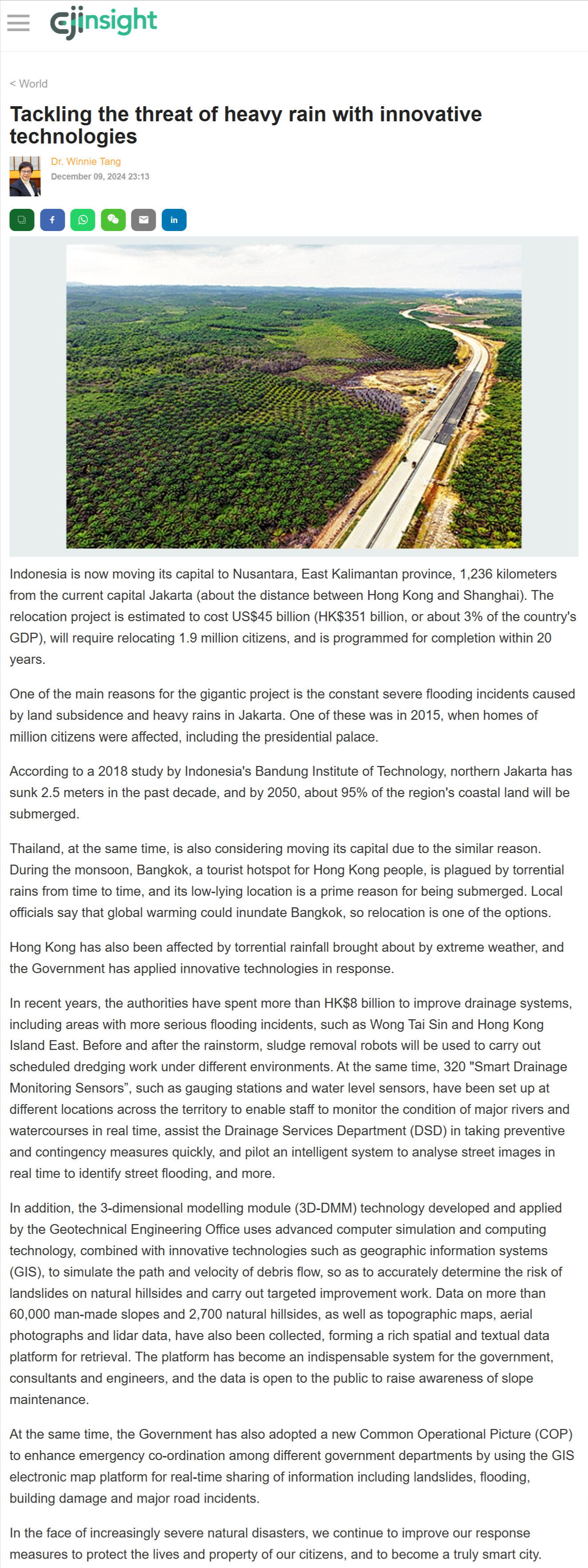
Indonesia is now moving its capital to Nusantara, East Kalimantan province, 1,236 kilometers from the current capital Jakarta (about the distance between Hong Kong and Shanghai). The relocation project is estimated to cost US$45 billion (HK$351 billion, or about 3% of the country's GDP), will require relocating 1.9 million citizens, and is programmed for completion within 20 years.
One of the main reasons for the gigantic project is the constant severe flooding incidents caused by land subsidence and heavy rains in Jakarta. One of these was in 2015, when homes of million citizens were affected, including the presidential palace.
According to a 2018 study by Indonesia's Bandung Institute of Technology, northern Jakarta has sunk 2.5 meters in the past decade, and by 2050, about 95% of the region's coastal land will be submerged.
Thailand, at the same time, is also considering moving its capital due to the similar reason. During the monsoon, Bangkok, a tourist hotspot for Hong Kong people, is plagued by torrential rains from time to time, and its low-lying location is a prime reason for being submerged. Local officials say that global warming could inundate Bangkok, so relocation is one of the options.
Hong Kong has also been affected by torrential rainfall brought about by extreme weather, and the Government has applied innovative technologies in response.
In recent years, the authorities have spent more than HK$8 billion to improve drainage systems, including areas with more serious flooding incidents, such as Wong Tai Sin and Hong Kong Island East. Before and after the rainstorm, sludge removal robots will be used to carry out scheduled dredging work under different environments. At the same time, 320 "Smart Drainage Monitoring Sensors”, such as gauging stations and water level sensors, have been set up at different locations across the territory to enable staff to monitor the condition of major rivers and watercourses in real time, assist the Drainage Services Department (DSD) in taking preventive and contingency measures quickly, and pilot an intelligent system to analyse street images in real time to identify street flooding, and more.
In addition, the 3-dimensional modelling module (3D-DMM) technology developed and applied by the Geotechnical Engineering Office uses advanced computer simulation and computing technology, combined with innovative technologies such as geographic information systems (GIS), to simulate the path and velocity of debris flow, so as to accurately determine the risk of landslides on natural hillsides and carry out targeted improvement work. Data on more than 60,000 man-made slopes and 2,700 natural hillsides, as well as topographic maps, aerial photographs and lidar data, have also been collected, forming a rich spatial and textual data platform for retrieval. The platform has become an indispensable system for the government, consultants and engineers, and the data is open to the public to raise awareness of slope maintenance.
At the same time, the Government has also adopted a new Common Operational Picture (COP) to enhance emergency co-ordination among different government departments by using the GIS electronic map platform for real-time sharing of information including landslides, flooding, building damage and major road incidents.
In the face of increasingly severe natural disasters, we continue to improve our response measures to protect the lives and property of our citizens, and to become a truly smart city.
Dr Winnie Tang
Adjunct Professor, School of Computing and Data Science; Department of Geography, Faculty of Social Sciences, The University of Hong Kong