網上版請按此
HK$500 million City I&T Grand Challenge opens unlimited business opportunities in geospatial information
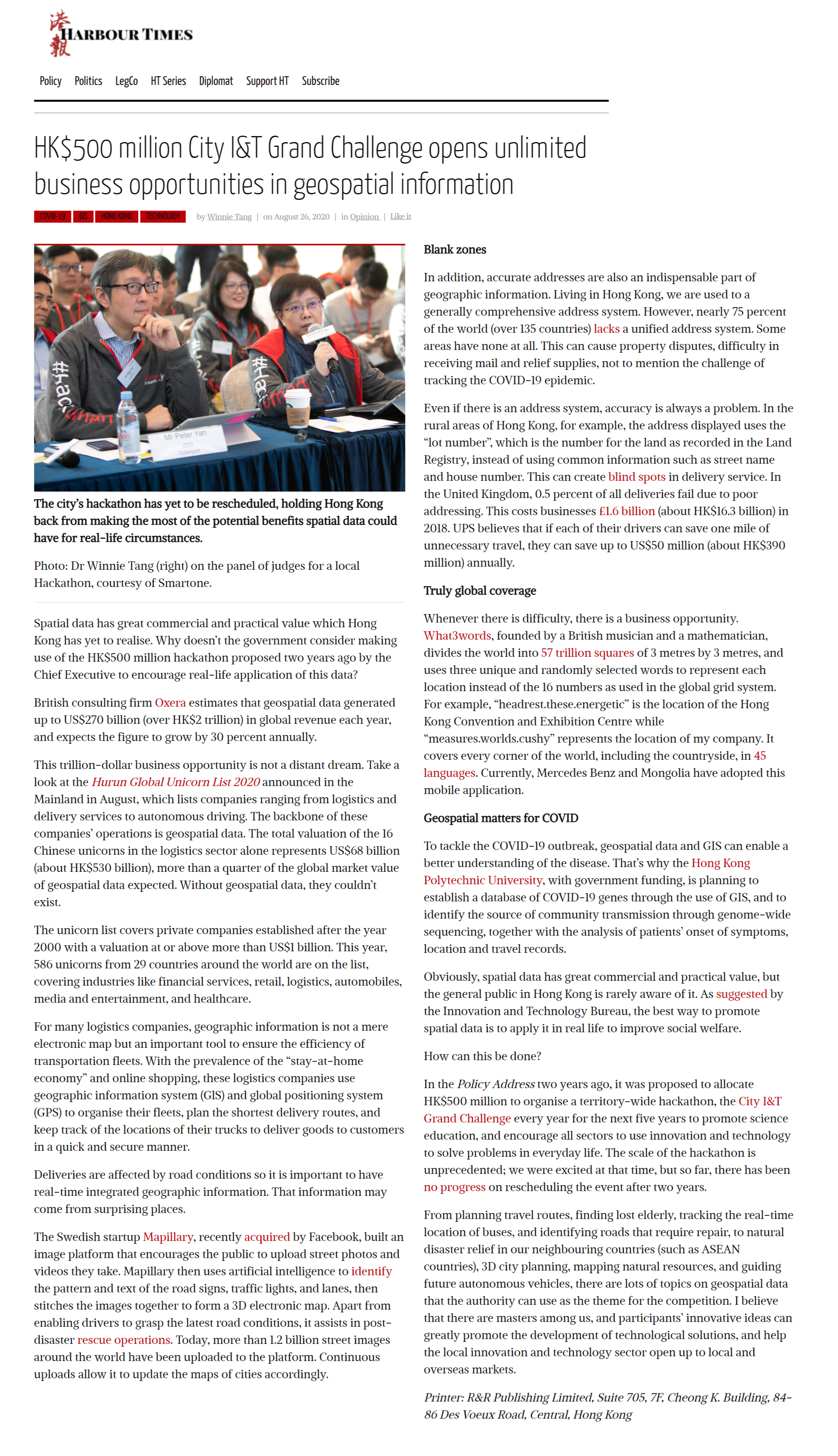
Spatial data has great commercial and practical value which Hong Kong has yet to realise. Why doesn't the government consider making use of the HK$500 million hackathon proposed two years ago by the Chief Executive to encourage real-life application of this data?
British consulting firm Oxera estimates that geospatial data generated up to US$270 billion (over HK$2 trillion) in global revenue each year, and expects the figure to grow by 30 percent annually.
This trillion-dollar business opportunity is not a distant dream. Take a look at the Hurun Global Unicorn List 2020 announced in the Mainland in August, which lists companies ranging from logistics and delivery services to autonomous driving. The backbone of these companies’ operations is geospatial data. The total valuation of the 16 Chinese unicorns in the logistics sector alone represents US$68 billion (about HK$530 billion), more than a quarter of the global market value of geospatial data expected. Without geospatial data, they couldn't exist.
The unicorn list covers private companies established after the year 2000 with a valuation at or above more than US$1 billion. This year, 586 unicorns from 29 countries around the world are on the list, covering industries like financial services, retail, logistics, automobiles, media and entertainment, and healthcare.
For many logistics companies, geographic information is not a mere electronic map but an important tool to ensure the efficiency of transportation fleets. With the prevalence of the “stay-at-home economy” and online shopping, these logistics companies use geographic information system (GlS) and global positioning system (GPS) to organise their fleets, plan the shortest delivery routes, and keep track of the locations of their trucks to deliver goods to customers in a quick and secure manner.
Deliveries are affected by road conditions so it is important to have real-time integrated geographic information. That information may come from surprising places.
The Swedish startup Mapillary, recently acquired by Facebook, built an image platform that encourages the public to upload street photos and videos they take. Mapillary then uses artificial intelligence to identify the pattern and text of the road signs, traffic lights, and lanes, then stitches the images together to form a 3D electronic map. Apart from enabling drivers to grasp the latest road conditions, it assists in post-disaster rescue operations. Today, more than 1.2 billion street images around the world have been uploaded to the platform. Continuous uploads allow it to update the maps of cities accordingly.
Blank zones
In addition, accurate addresses are also an indispensable part of geographic information. Living in Hong Kong, we are used to a generally comprehensive address system. However, nearly 75 percent of the world (over 135 countries) lacks a unified address system. Some areas have none at all. This can cause property disputes, difficulty in receiving mail and relief supplies, not to mention the challenge of tracking the COVID-19 epidemic.
Even if there is an address system, accuracy is always a problem. In the rural areas of Hong Kong, for example, the address displayed uses the “lot number”, which is the number for the land as recorded in the Land Registry, instead of using common information such as street name and house number. This can create blind spots in delivery service. In the United Kingdom, 0.5 percent of all deliveries fail due to poor addressing. This costs businesses £1.6 billion (about HK$16.3 billion) in 2018. UPS believes that if each of their drivers can save one mile of unnecessary travel, they can save up to US$50 million (about HK$390 million) annually.
Truly global coverage
Whenever there is difficulty, there is a business opportunity. What3words, founded by a British musician and a mathematician, divides the world into 57 trillion squares of 3 metres by 3 metres, and uses three unique and randomly selected words to represent each location instead of the 16 numbers as used in the global grid system. For example, “headrest.these.energetic” is the location of the Hong Kong Convention and Exhibition Centre while “measures.worlds.cushy” represents the location of my company. It covers every corner of the world, including the countryside, in 45 languages. Currently, Mercedes Benz and Mongolia have adopted this mobile application.
Geospatial matters for COVID
To tackle the COVID-19 outbreak, geospatial data and GIS can enable a better understanding of the disease. That's why the Hong Kong Polytechnic University, with government funding, is planning to establish a database of COVID-19 genes through the use of GIS, and to identify the source of community transmission through genome-wide sequencing, together with the analysis of patients’ onset of symptoms, location and travel records.
Obviously, spatial data has great commercial and practical value, but the general public in Hong Kong is rarely aware of it. As suggested by the Innovation and Technology Bureau, the best way to promote spatial data is to apply it in real life to improve social welfare.
How can this be done?
In the Policy Address two years ago, it was proposed to allocate HK$500 million to organise a territory-wide hackathon, the City I&T Grand Challenge every year for the next five years to promote science education, and encourage all sectors to use innovation and technology to solve problems in everyday life. The scale of the hackathon is unprecedented; we were excited at that time, but so far, there has been no progress on rescheduling the event after two years.
From planning travel routes, finding lost elderly, tracking the real-time location of buses, and identifying roads that require repair, to natural disaster relief in our neighbouring countries (such as ASEAN countries), 3D city planning, mapping natural resources, and guiding future autonomous vehicles, there are lots of topics on geospatial data that the authority can use as the theme for the competition. I believe that there are masters among us, and participants’ innovative ideas can greatly promote the development of technological solutions, and help the local innovation and technology sector open up to local and overseas markets.
Dr. Winnie Tang
Adjunct Professor, Department of Computer Science, Faculty of Engineering; Department of Geography, Faculty of Social Sciences; and Faculty of Architecture, The University of Hong Kong