網上版請按此
Getting ready for the future
In the face of uncertainties in Hong Kong and the world, I try to make some predictions in my latest book "Are You Future Ready?". Among the forecasts is that within 10 years we could have dedicated dashboards that would summarize information, based on our individual interests, from various smart devices, including watches, spectacles, toilets, steering wheels of cars, etc. The system can also add unstructured data like Chinese medicine handwriting diagnosis and western medicine list to monitor health in a holistic manner. Prediction on health risks can be made accordingly.
So why would it take up to 10 years?
The technology, as a matter of fact, is already in place. Unlike the past, unstructured data can now be correlated using geographic information system (GIS) software, making data more comprehensive. Combining with historical records and artificial intelligence, the work on urban planning, disaster prevention and mobility management can now be more precise.
In tasks such as city management of Jakarta, the capital of Indonesia; flood control in Louisiana, in the United States; improvement of mobility in the United Kingdom; and container terminal operations in Rotterdam in the Netherlands, they all integrate information from various sources and convert them into operational intelligence. A system will then present the intelligence in a dashboard with a map, supplemented with icons, charts, and colors, making it easy to understand and make decisions.
For example, though the public organization Highways England manages a road network of just 4,300 miles, representing only 2 percent of the roads in the UK, sections under it serve one-third of car and two-thirds of heavy-duty truck traffic. Therefore, it is of utmost importance to ensure safety and free flow on its roads. GIS has been used to consolidate traffic accident information, such as location, time, and vehicle types to reduce disruption.
At the same time, road excavation works by different departments are better coordinated to minimize road closures. All information can be displayed on the dashboard for easy reference. As a result, the company can clear 88 percent of accident sites within 60 minutes, beyond the required standards of the Department of Transport, making people's mobility easier and smoother.
In the US, there is an average of 133 deaths and property losses of more than US$4 billion every year caused by inland flooding. Located in the south of Louisiana, the Mississippi River traverses the state from north to south and witnesses frequent flooding. Thus, the state government has set up the River Gauge Dashboard to monitor the water level, assessing the risk against historical data, allowing the government, public and private enterprises, and citizens to grasp the real-time situation to avoid possible deaths and damage.
However, we need unified data format to make these dashboards effective, and a spatial data sharing platform with geographic locations to link up fragmented information is required. The Hong Kong government will launch the City Dashboard this year. It relies on active implementation of the infrastructures in recent years. But how this should be handled at the individual level will have to be explored.
Apart from infrastructure, mindset is also an issue. To cities and individuals, we should ask the same question: Should resources be allocated in short term or medium and long term?
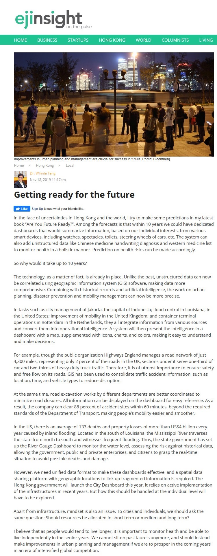
I believe that as people would tend to live longer, it is important to monitor health and be able to live independently in the senior years. We cannot sit on past laurels anymore, and should instead make improvements in urban planning and management if we are to prosper in the coming years in an era of intensified global competition.
Dr. Winnie Tang
Adjunct Professor, Department of Computer Science, Faculty of Engineering and Faculty of Architecture, The University of Hong Kong