網上版請按此
How HK can lead GBA neighbors in data platform development
The central government last week released the Outline Development Plan for the Guangdong-Hong Kong-Macao Greater Bay Area (GBA) to spur growth in Hong Kong, Macau and nine cities of Guangdong province.
We in Hong Kong focus on our strengths in banking and finance, transportation, trading, on being an international aviation hub, and our potential to become an international innovation and technology center. Our strengths are more than that!
The GBA plan talks about two information platforms: a "spatial service information platform" for the development of a smart city and a "coordination platform for contingency response for major contingencies". Hong Kong can actually be a leader in these areas.
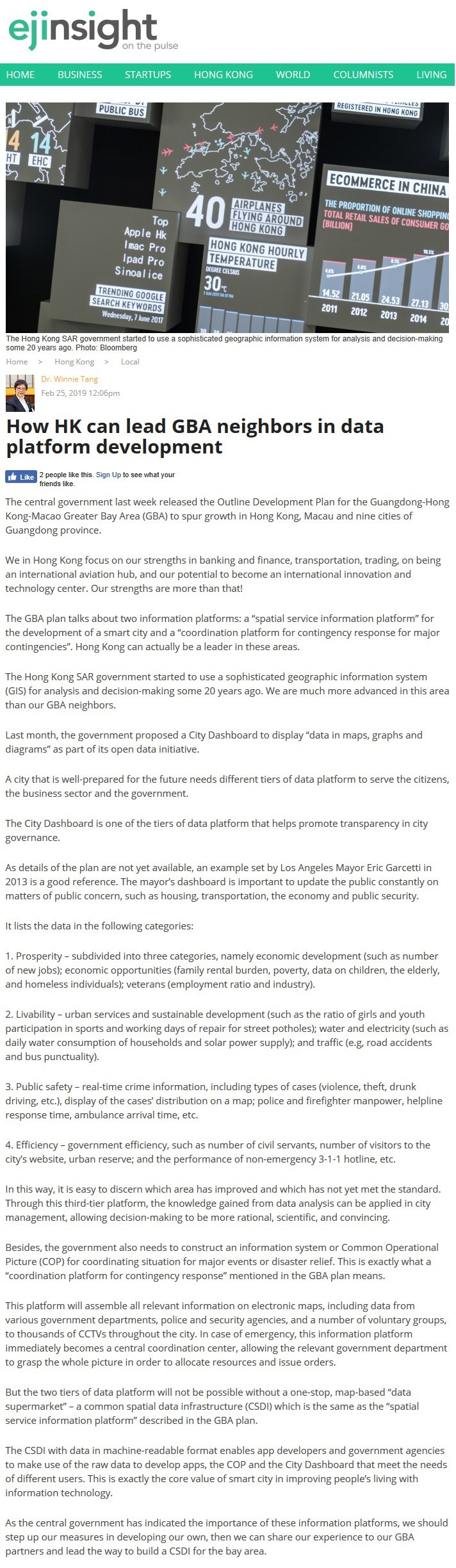
The Hong Kong SAR government started to use a sophisticated geographic information system (GIS) for analysis and decision-making some 20 years ago. We are much more advanced in this area than our GBA neighbors.
Last month, the government proposed a City Dashboard to display "data in maps, graphs and diagram" as part of its open data initiative.
A city that is well-prepared for the future needs different tiers of data platform to serve the citizens, the business sector and the government.
The City Dashboard is one of the tiers of data platform that helps promote transparency in city governance.
As details of the plan are not yet available, an example set by Los Angeles Mayor Eric Garcetti in 2013 is a good reference. The mayor's dashboard is important to update the public constantly on matters of public concern, such as housing, transportation, the economy and public security.
It lists the data in the following categories:
1. Prosperity – subdivided into three categories, namely economic development (such as number of new jobs); economic opportunities (family rental burden, poverty, data on children, the elderly, and homeless individuals); veterans (employment ratio and industry).
2. Livability – urban services and sustainable development (such as the ratio of girls and youth participation in sports and working days of repair for street potholes); water and electricity (such as daily water consumption of households and solar power supply); and traffic (e.g, road accidents and bus punctuality).
3. Public safety – real-time crime information, including types of cases (violence, theft, drunk driving, etc.), display of the cases' distribution on a map; police and firefighter manpower, helpline response time, ambulance arrival time, etc.
4. Efficiency – government efficiency, such as number of civil servants, number of visitors to the city's website, urban reserve; and the performance of non-emergency 3-1-1 hotline, etc.
In this way, it is easy to discern which area has improved and which has not yet met the standard. Through this third-tier platform, the knowledge gained from data analysis can be applied in city management, allowing decision-making to be more rational, scientific, and convincing.
Besides, the government also needs to construct an information system or Common Operational Picture (COP) for coordinating situation for major events or disaster relief. This is exactly what a "coordination platform for contingency response" mentioned in the GBA plan means.
This platform will assemble all relevant information on electronic maps, including data from various government departments, police and security agencies, and a number of voluntary groups, to thousands of CCTVs throughout the city. In case of emergency, this information platform immediately becomes a central coordination center, allowing the relevant government department to grasp the whole picture in order to allocate resources and issue orders.
But the two tiers of data platform will not be possible without a one-stop, map-based "data supermarket" – a common spatial data infrastructure (CSDI) which is the same as the "spatial service information platform" described in the GBA plan.
The CSDI with data in machine-readable format enables app developers and government agencies to make use of the raw data to develop apps, the COP and the City Dashboard that meet the needs of different users. This is exactly the core value of smart city in improving people's living with information technology.
As the central government has indicated the importance of these information platforms, we should step up our measures in developing our own, then we can share our experience to our GBA partners and lead the way to build a CSDI for the bay area.
Dr. Winnie Tang
Adjunct Professor, Department of Computer Science, Faculty of Engineering and Faculty of Architecture, The University of Hong Kong