網上版請按此
Improving real-time response during major events via technology
Autumn in Hong Kong is a season for many outdoor activities. Oxfam Trailwalker, a popular local event that started in mid-November, is large-scale fundraising sporting fixture whose history goes back 37 years. Teams made up of four people have to cross the MacLehose Trail of 100 km within 48 hours, it is a test of human physical endurance and teamwork. Last year, there were more than 4,000 participants. Counting volunteer workers and interested onlookers, it is not surprising to see around a 100,000 people on the hills during such days.
A few months after the Trailwalker event, Hong Kong will see another large-scale endurance sporting event — the Standard Chartered Hong Kong Marathon — in February 2019. The total number of participants in the running event is expected to be over 70,000, with the trail that crosses Hong Kong and Kowloon.
It is challenging to ensure that such big events extending over a large area with so many people participating will go smoothly.
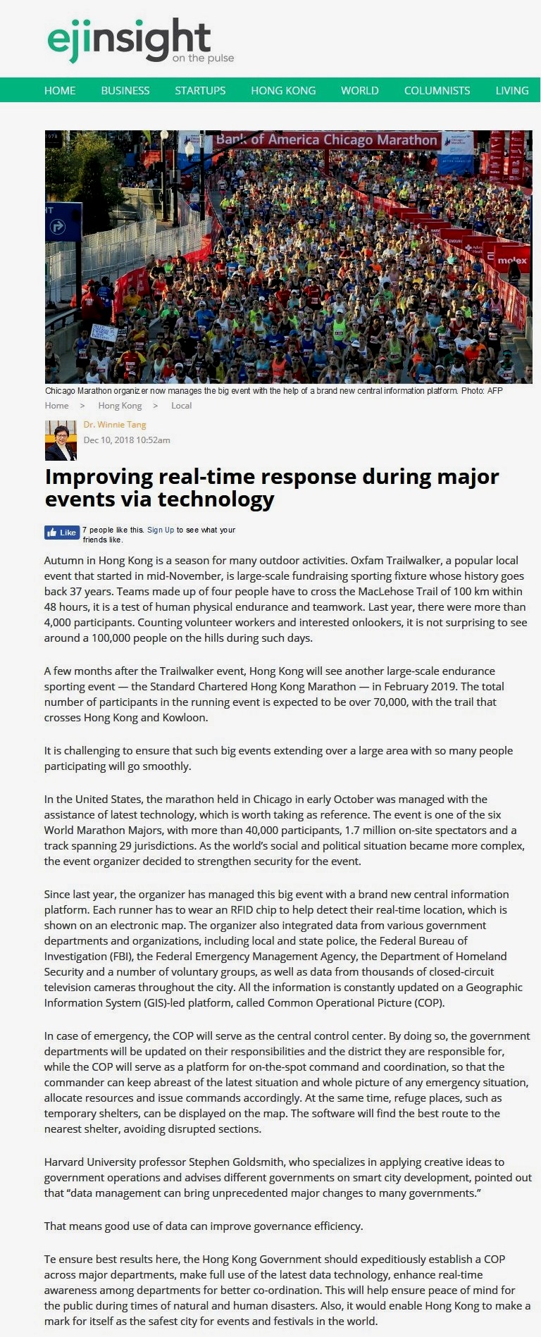
In the United States, the marathon held in Chicago in early October was managed with the assistance of latest technology, which is worth taking as reference. The event is one of the six World Marathon Majors, with more than 40,000 participants, 1.7 million on-site spectators and a track spanning 29 jurisdictions. As the world's social and political situation became more complex, the event organizer decided to strengthen security for the event.
Since last year, the organizer has managed this big event with a brand new central information platform. Each runner has to wear an RFID chip to help detect their real-time location, which is shown on an electronic map. The organizer also integrated data from various government departments and organizations, including local and state police, the Federal Bureau of Investigation (FBI), the Federal Emergency Management Agency, the Department of Homeland Security and a number of voluntary groups, as well as data from thousands of closed-circuit television cameras throughout the city. All the information is constantly updated on a Geographic Information System (GIS)-led platform, called Common Operational Picture (COP).
In case of emergency, the COP will serve as the central control center. By doing so, the government departments will be updated on their responsibilities and the district they are responsible for, while the COP will serve as a platform for on-the-spot command and coordination, so that the commander can keep abreast of the latest situation and whole picture of any emergency situation, allocate resources and issue commands accordingly. At the same time, refuge places, such as temporary shelters, can be displayed on the map. The software will find the best route to the nearest shelter, avoiding disrupted sections.
Harvard University professor Stephen Goldsmith, who specializes in applying creative ideas to government operations and advises different governments on smart city development, pointed out that "data management can bring unprecedented major changes to many governments."
That means good use of data can improve governance efficiency.
Te ensure best results here, the Hong Kong Government should expeditiously establish a COP across major departments, make full use of the latest data technology, enhance real-time awareness among departments for better co-ordination. This will help ensure peace of mind for the public during times of natural and human disasters. Also, it would enable Hong Kong to make a mark for itself as the safest city for events and festivals in the world.
Dr. Winnie Tang
Honorary Professor, Department of Computer Science, The University of Hong Kong