網上版請按此
E-learning for everyone!
Hong Kong has launched a free electronic learning (e-learning) programme for all primary and secondary school students. It's a mirror of a programme that commenced in the United States two years ago.
The free e-learning programme in the US was wholly sponsored by Environmental Systems Research Institute (Esri), a private enterprise that focuses on Geographic Information System (GIS) software development. The sponsorship programme was a response to President Barack Obama's warning that those nations that “out-educate us today will out-compete us tomorrow.”
Computers are not new to US students. Nearly 70 percent of teachers or students have been using them in classrooms since 2009, according to a government survey. However, US student performance in STEM subjects (science, technology, engineering and mathematics) has fallen behind that of other developed countries. In the 2009 OECD “Programme for International Student Assessment” (PISA) for 15-year-old pupils, held in 65 countries, students from the US ranked only 23rd in science, and 31st in mathematics, while peers from Japan and South Korea were among the top four to six.
In response to President Obama's ConnectED initiative which aims to enrich education for every student in America through electronic learning, Esri's president, Jack Dangermond then decided to support free usage of the company's GIS software by all US kindergarten, primary and secondary school students. This programme would benefit over 100,000 schools.
Sponsored students can use GIS software and related professional map analysis tools originally developed for the government, public and private enterprises. Even better, they can use this cloud system on their smartphones, tablets and desktops anywhere. Through this initiative, Dangermond hopes to improve students’ problem solving abilities.
As the Chairman of Esri China (HK), I feel proud when hearing such news. Deep down, I have always thought of bringing this educational programme to Hong Kong so as to inspire our students in the STEM disciplines so that they may enjoy the learning process. After consultations with our US headquarters and the Hong Kong Education Bureau, the free Map in Learning (MiL) electronic education programme finally landed in Asia this year.
The MiL Programme corresponds with the Education Bureau's “Life-wide Learning” paradigm, which prescribes student learning in real-life and authentic contexts. It provides students with a timely GIS analytical platform and relevant knowledge, trains students to take full advantage of geographic information and enriches their learning experience.
Information already available on the GIS software platform includes demographic data (population and income), locations of local community facilities (libraries, beaches and schools), as well as global data on GDP, weather and even plate tectonics. Students can also upload other information to the platform.
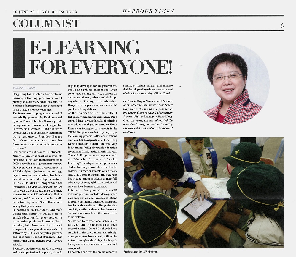
We started to contact local schools late last year and the response has been overwhelming! Over 80 schools have enrolled in the programme. Amazingly, some youngsters have already utilised the software to explore the design of a footpath through an amenity area within their school compound.
I sincerely hope that the programme will stimulate students’ interest and enhance their learning ability while nurturing a pool of talent for the smart city of Hong Kong!
Dr Winnie Tang
Founder and Chairman of the Steering Committee of the Smart City Consortium and is a pioneer in bringing Geographic Information System (GIS) technology to Hong Kong. Over the years, she has advocated the use of technology in sectors including environmental conservation, education and healthcare.