網上版請按此
A HK-bred internationally renowned geographer
Although I loved maps since I was a child, I had never thought about working in this field until I was introduced to the geographic information world by the internationally renowned geographer, Professor Chor-Pang Lo, who was born and educated in Hong Kong. Following his teaching 30 years ago, I continued in his path of passing on my knowledge and experience in the geographic information system (GIS) to the next generations. It is really amazing!
In the 1970s and 1980s, when Hong Kong and other parts of Asia were still using hand-drawn maps, the United States and Canada developed GIS that used computer softwares to collect, store and analyse geographic information, which greatly increased the efficiency of urban planning.
Professor Lo was the first person to introduce GIS knowledge to Hong Kong. In the 1960s, he graduated with first class honours from the Department of Geography at the University of Hong Kong (HKU). After completing his master's degree, he continued to pursue his PhD in Geography and Photogrammetry in the United Kingdom. In the 1980s, he was already a professor in the Department of Geography at the long-established University of Georgia.
Today, people often talk about the internet of things (IoT), that is, through data collected by multiple sensors to analyse and operate systems. Examples like the data of heartbeat and blood pressure gathered by smartwatch showing the health status, real-time detection of road traffic enabling smooth mobility measures, smart grid for monitoring power stations and fluctuations in regional electricity demand to ensure reliable services; all these depend on the development of remote sensor technology. Many thanks to Professor Lo who pioneered in this area more than 30 years ago.
He used urban remote sensing technology in conjunction with GIS and census statistics to study the human-environment interactions. Among these, he was the first person to use Landsat data to survey and map China, especially Hong Kong and the Pearl River Delta. He also used aerial photography, Large Format Camera photography, and Shuttle Imaging Radar images together with mathematical models, such as linear regression models, to estimate the population of Hong Kong, the Mainland and the U.S. Later, his NASA-funded work on land use and heat island effect in Atlanta, Georgia, attracted considerable attention from the news media. He demonstrated how these advanced technologies can be used to reveal the spatial impact of human societies on the environment.
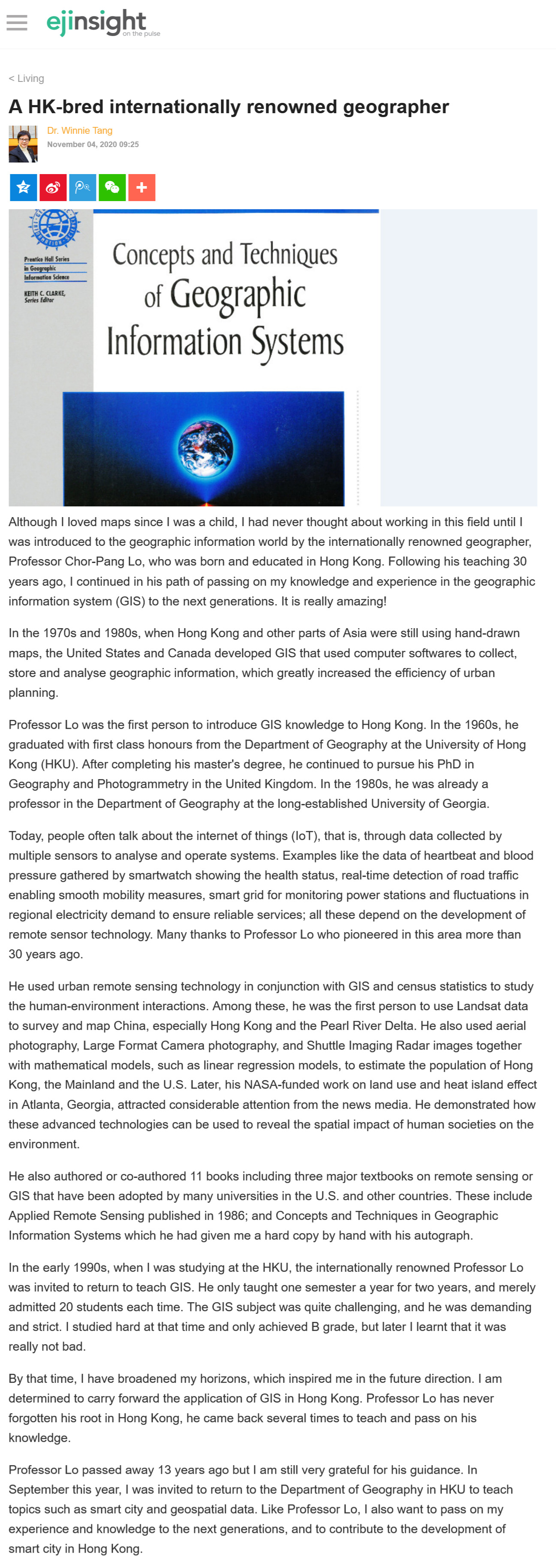
He also authored or co-authored 11 books including three major textbooks on remote sensing or GIS that have been adopted by many universities in the U.S. and other countries. These include Applied Remote Sensing published in 1986; and Concepts and Techniques in Geographic Information Systems which he had given me a hard copy by hand with his autograph.
In the early 1990s, when I was studying at the HKU, the internationally renowned Professor Lo was invited to return to teach GIS. He only taught one semester a year for two years, and merely admitted 20 students each time. The GIS subject was quite challenging, and he was demanding and strict. I studied hard at that time and only achieved B grade, but later I learnt that it was really not bad.
By that time, I have broadened my horizons, which inspired me in the future direction. I am determined to carry forward the application of GIS in Hong Kong. Professor Lo has never forgotten his root in Hong Kong, he came back several times to teach and pass on his knowledge.
Professor Lo passed away 13 years ago but I am still very grateful for his guidance. In September this year, I was invited to return to the Department of Geography in HKU to teach topics such as smart city and geospatial data. Like Professor Lo, I also want to pass on my experience and knowledge to the next generations, and to contribute to the development of smart city in Hong Kong.
Dr. Winnie Tang
Adjunct Professor, Department of Geography, Faculty of Social Sciences and Faculty of Architecture, The University of Hong Kong