網上版請按此
Lessons in new town planning
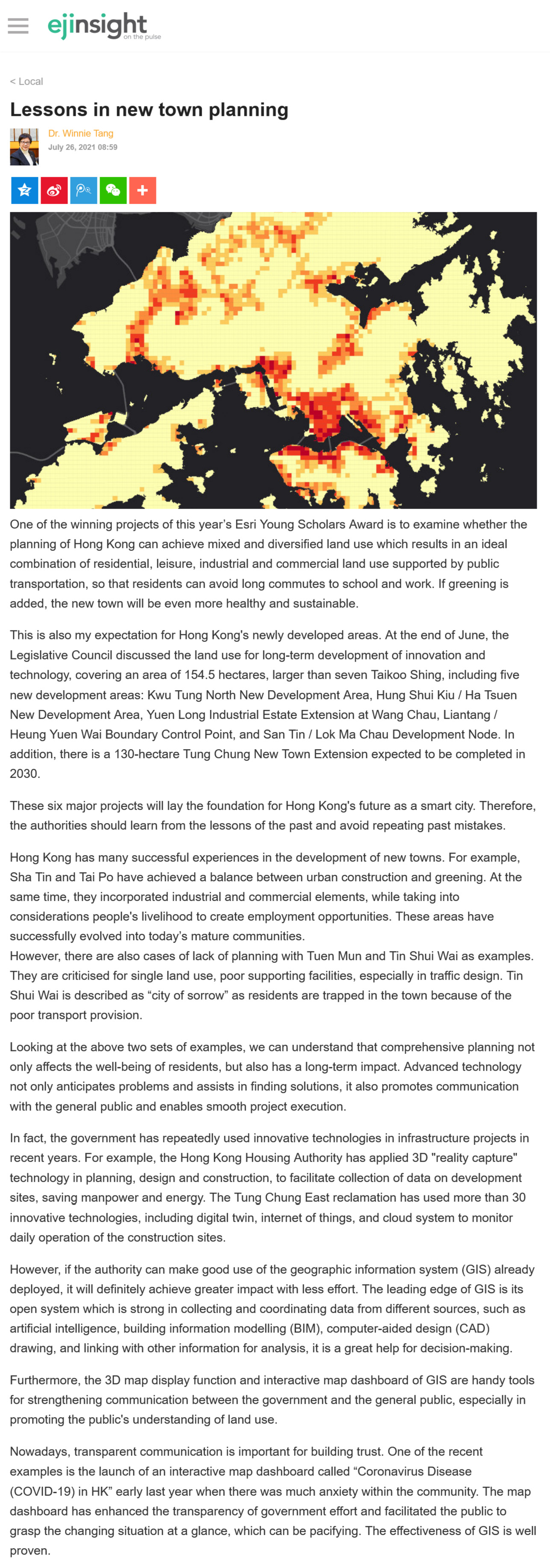
One of the winning projects of this year's Esri Young Scholars Award is to examine whether the planning of Hong Kong can achieve mixed and diversified land use which results in an ideal combination of residential, leisure, industrial and commercial land use supported by public transportation, so that residents can avoid long commutes to school and work. If greening is added, the new town will be even more healthy and sustainable.
This is also my expectation for Hong Kong's newly developed areas. At the end of June, the Legislative Council discussed the land use for long-term development of innovation and technology, covering an area of 154.5 hectares, larger than seven Taikoo Shing, including five new development areas: Kwu Tung North New Development Area, Hung Shui Kiu / Ha Tsuen New Development Area, Yuen Long Industrial Estate Extension at Wang Chau, Liantang / Heung Yuen Wai Boundary Control Point, and San Tin / Lok Ma Chau Development Node. In addition, there is a 130-hectare Tung Chung New Town Extension expected to be completed in 2030.
These six major projects will lay the foundation for Hong Kong's future as a smart city. Therefore, the authorities should learn from the lessons of the past and avoid repeating past mistakes.
Hong Kong has many successful experiences in the development of new towns. For example, Sha Tin and Tai Po have achieved a balance between urban construction and greening. At the same time, they incorporated industrial and commercial elements, while taking into considerations people's livelihood to create employment opportunities. These areas have successfully evolved into today's mature communities.
However, there are also cases of lack of planning with Tuen Mun and Tin Shui Wai as examples. They are criticised for single land use, poor supporting facilities, especially in traffic design. Tin Shui Wai is described as "city of sorrow" as residents are trapped in the town because of the poor transport provision.
Looking at the above two sets of examples, we can understand that comprehensive planning not only affects the well-being of residents, but also has a long-term impact. Advanced technology not only anticipates problems and assists in finding solutions, it also promotes communication with the general public and enables smooth project execution.
In fact, the government has repeatedly used innovative technologies in infrastructure projects in recent years. For example, the Hong Kong Housing Authority has applied 3D "reality capture" technology in planning, design and construction, to facilitate collection of data on development sites, saving manpower and energy. The Tung Chung East reclamation has used more than 30 innovative technologies, including digital twin, internet of things, and cloud system to monitor daily operation of the construction sites.
However, if the authority can make good use of the geographic information system (GIS) already deployed, it will definitely achieve greater impact with less effort. The leading edge of GIS is its open system which is strong in collecting and coordinating data from different sources, such as artificial intelligence, building information modelling (BIM), computer-aided design (CAD) drawing, and linking with other information for analysis, it is a great help for decision-making.
Furthermore, the 3D map display function and interactive map dashboard of GIS are handy tools for strengthening communication between the government and the general public, especially in promoting the public's understanding of land use.
Nowadays, transparent communication is important for building trust. One of the recent examples is the launch of an interactive map dashboard called "Coronavirus Disease (COVID-19) in HK" early last year when there was much anxiety within the community. The map dashboard has enhanced the transparency of government effort and facilitated the public to grasp the changing situation at a glance, which can be pacifying. The effectiveness of GIS is well proven.
Dr. Winnie Tang
Adjunct Professor, Department of Computer Science, Faculty of Engineering; Department of Geography, Faculty of Social Sciences; and Faculty of Architecture, The University of Hong Kong