網上版請按此
Importance of geographic data to smart city development
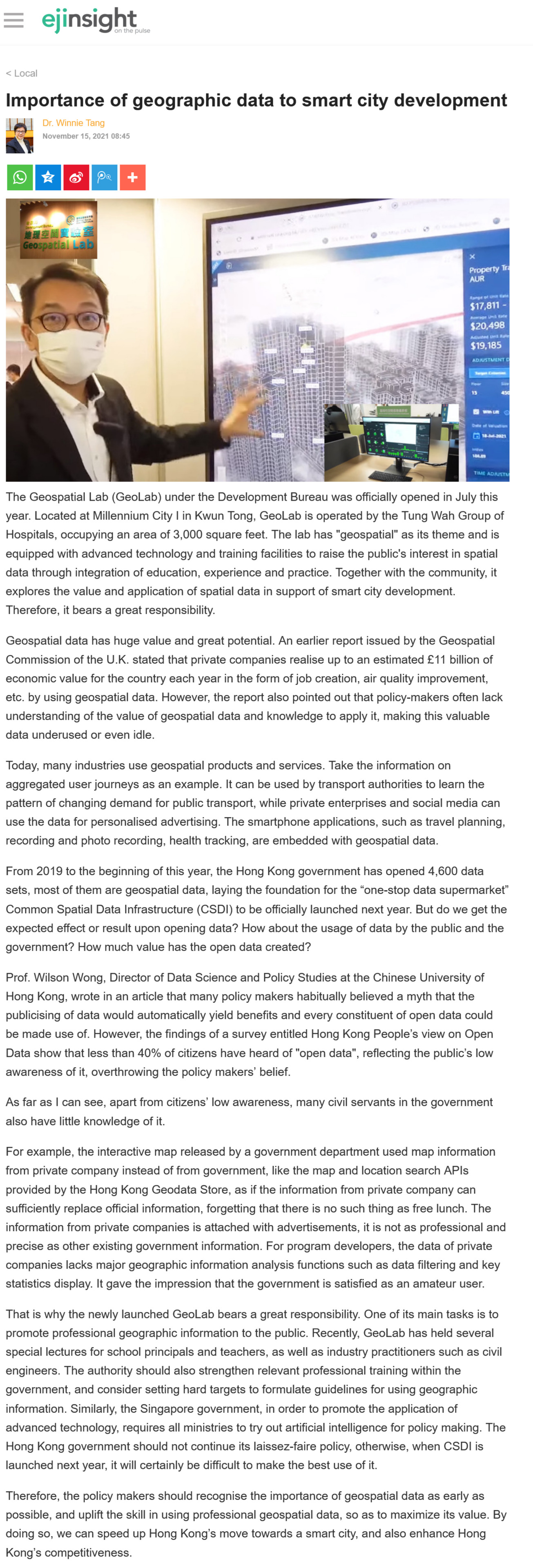
The Geospatial Lab (GeoLab) under the Development Bureau was officially opened in July this year. Located at Millennium City I in Kwun Tong, GeoLab is operated by the Tung Wah Group of Hospitals, occupying an area of 3,000 square feet. The lab has "geospatial" as its theme and is equipped with advanced technology and training facilities to raise the public's interest in spatial data through integration of education, experience and practice. Together with the community, it explores the value and application of spatial data in support of smart city development. Therefore, it bears a great responsibility.
Geospatial data has huge value and great potential. An earlier report issued by the Geospatial Commission of the U.K. stated that private companies realise up to an estimated £11 billion of economic value for the country each year in the form of job creation, air quality improvement, etc. by using geospatial data. However, the report also pointed out that policy-makers often lack understanding of the value of geospatial data and knowledge to apply it, making this valuable data underused or even idle.
Today, many industries use geospatial products and services. Take the information on aggregated user journeys as an example. It can be used by transport authorities to learn the pattern of changing demand for public transport, while private enterprises and social media can use the data for personalised advertising. The smartphone applications, such as travel planning, recording and photo recording, health tracking, are embedded with geospatial data.
From 2019 to the beginning of this year, the Hong Kong government has opened 4,600 data sets, most of them are geospatial data, laying the foundation for the "one-stop data supermarket" Common Spatial Data Infrastructure (CSDI) to be officially launched next year. But do we get the expected effect or result upon opening data? How about the usage of data by the public and the government? How much value has the open data created?
Prof. Wilson Wong, Director of Data Science and Policy Studies at the Chinese University of Hong Kong, wrote in an article that many policy makers habitually believed a myth that the publicising of data would automatically yield benefits and every constituent of open data could be made use of. However, the findings of a survey entitled Hong Kong People's view on Open Data show that less than 40% of citizens have heard of "open data", reflecting the public's low awareness of it, overthrowing the policy makers' belief.
As far as I can see, apart from citizens' low awareness, many civil servants in the government also have little knowledge of it.
For example, the interactive map released by a government department used map information from private company instead of from government, like the map and location search APIs provided by the Hong Kong Geodata Store, as if the information from private company can sufficiently replace official information, forgetting that there is no such thing as free lunch. The information from private companies is attached with advertisements, it is not as professional and precise as other existing government information. For program developers, the data of private companies lacks major geographic information analysis functions such as data filtering and key statistics display. It gave the impression that the government is satisfied as an amateur user.
That is why the newly launched GeoLab bears a great responsibility. One of its main tasks is to promote professional geographic information to the public. Recently, GeoLab has held several special lectures for school principals and teachers, as well as industry practitioners such as civil engineers. The authority should also strengthen relevant professional training within the government, and consider setting hard targets to formulate guidelines for using geographic information. Similarly, the Singapore government, in order to promote the application of advanced technology, requires all ministries to try out artificial intelligence for policy making. The Hong Kong government should not continue its laissez-faire policy, otherwise, when CSDI is launched next year, it will certainly be difficult to make the best use of it.
Therefore, the policy makers should recognise the importance of geospatial data as early as possible, and uplift the skill in using professional geospatial data, so as to maximize its value. By doing so, we can speed up Hong Kong's move towards a smart city, and also enhance Hong Kong's competitiveness.
Dr. Winnie Tang
Adjunct Professor, Department of Computer Science, Faculty of Engineering; Department of Geography, Faculty of Social Sciences; and Faculty of Architecture, The University of Hong Kong